
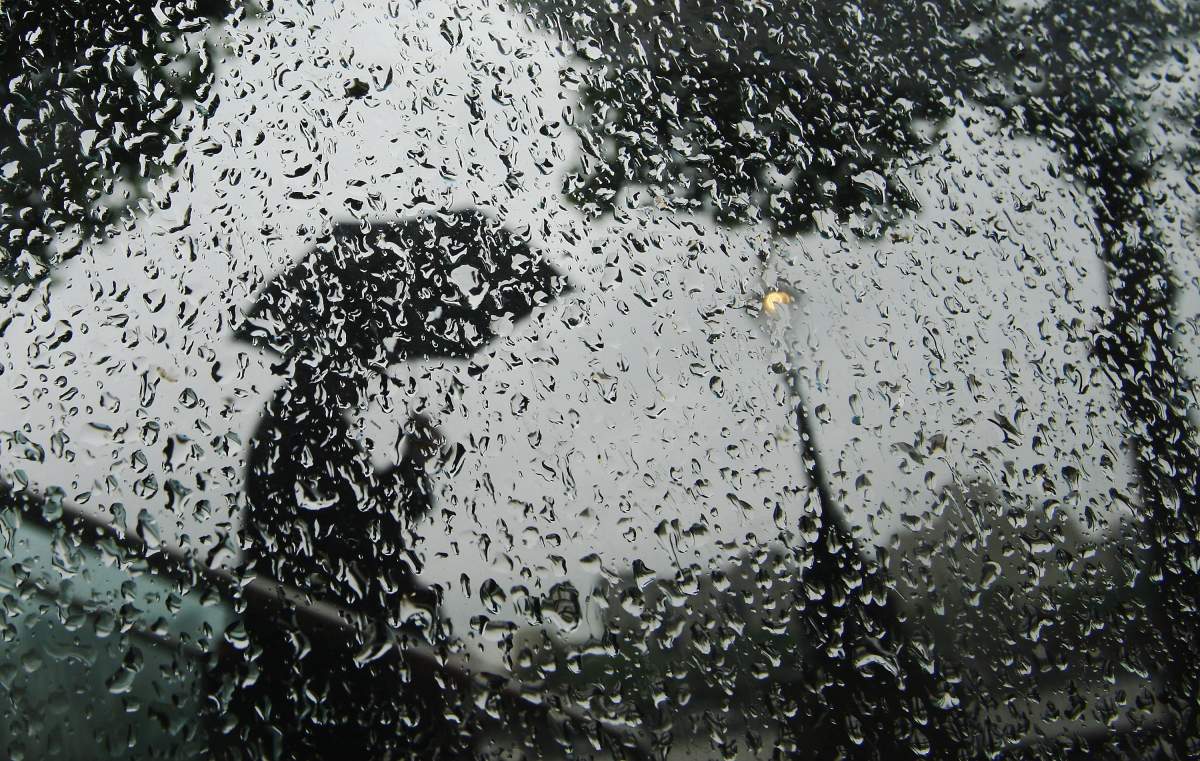
A flood watch has been issued for all water bodies in the Peterborough, Ont., region due to heavy rain and thunderstorms Tuesday that are expected to continue Wednesday.

Otonabee Conservation says the region may receive between 40 and 60 millimetres of rain on Tuesday as a result of the passing of a cold front, which will lead to heavy downpours and severe thunderstorms.
The authority says there is potential for flooding, prompting a flood watch for all watercourses and bodies within the conservation authority’s geographical jurisdiction of Peterborough, sections of the City of Kawartha Lakes, and the townships of Asphodel-Norwood, Cavan Monaghan, Douro-Dummer, Otonabee-South Monaghan and Selwyn and the Municipality of Trent Hills.
“Present lake levels and river and stream flows are above normal for this time of year,” said Gordon Earle, flood forecasting and warning duty officer. “Significant rainfall today is likely to cause the rapid rise of water levels and flows, causing flooding.”
Earle says residents of flood-prone areas and shorelines are advised to remain prepared for potential flooding and be cognizant of weather conditions and alerts over the next 48 hours.

Get daily National news
Recreational water users are also urged to remain cautious because high water levels and flows will continue through the weekend
The flood watch is in effect until at least Thursday at 3 p.m.
Area water level information can be monitored online at:
- Trent-Severn Waterway’s Water Management InfoNet
- Water Survey of Canada Real-Time Hydrometric Data
- Otonabee Region Conservation Authority website
Ganaraska Conservation Authority
South of the Peterborough area, the Ganaraska Region Conservation Authority says while no flooding within its jurisdiction is expected, a watershed conditions statement is in effect until Wednesday.
Some ponding of water in low-lying areas is possible and stream banks may be slippery, and structures such as dams, bridges and culverts may have fast-flowing water, flood operations officer Mike Smith cautions.
“Streamflows have returned to normal since last week, however higher than normal water levels and flows can be expected following the heavy rains that are forecast for today (Tuesday),” Smith said. “In addition, saturated soils combined with high rates of rainfall may cause erosion on bare soils and around stream edges.”


Comments
Want to discuss? Please read our Commenting Policy first.