

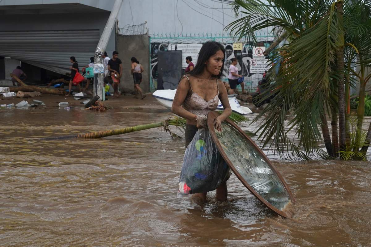
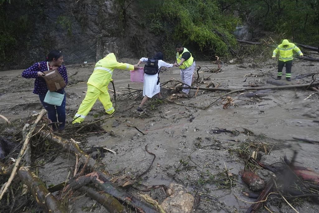
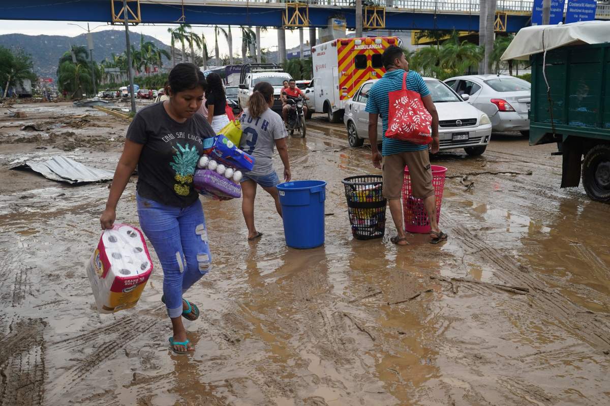
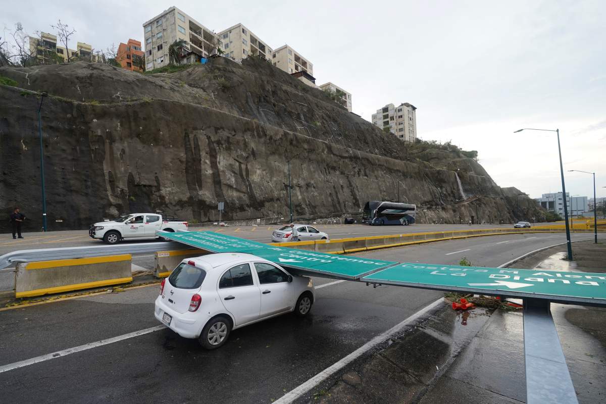
Hurricane Otis slammed into the southern-Pacific part of Mexico early Wednesday morning, downing power lines in communities including the popular tourist city of Acapulco. The hurricane damaged buildings and flooded roads and it’s left many wondering how forecasters didn’t see the Category Five storm coming.

The storm, which has killed at least 27 people, was originally forecast earlier this week as one that would hit the region as a weak hurricane.
It took many by surprise on Tuesday evening when it rapidly strengthened from a tropical storm to a powerful hurricane as it tore along the southern coast.
Daniel Brown, a senior hurricane specialist at the National Hurricane Center in Miami, Fla., told Global News that the modelling did not give meteorologists indication there would be such a significant strengthening. He said while there was initially a “vertical wind shear” over the storm, it appeared to have “relaxed” by Monday night.

“Rapid strengthening is one of the most difficult aspects to forecast of hurricanes,” he said. “We have gotten better in very recent years of forecasting rapid strengthening. But this really was an extreme case.”
Brown said “rapid strengthening” is defined as about a 35 mile-per-hour, or about 56 kilometre-per-hour, increase in winds over a 24-hour period, adding Otis “essentially doubled, almost tripled that rate of intensification” before it hit the coast of Mexico.
According to Global News chief meteorologist Anthony Farnell, the storm — which reached winds of approximately 265 km/h — saw a ramp-up of about 125 km/h in just 12 hours.
What made the storm worse, especially for those in Acapulco, was that it hit at night, making it more difficult for people to get advance warning whereby they would have time to get to higher ground, according to Farnell.

Brown said a hurricane watch was issued on Monday, with a warning going out early Tuesday morning giving some time to prepare, but for those along coastlines and areas that could be hit by hurricanes, they need to always be prepared.

Get breaking National news
“You really should stay very vigilant, very prepared,” he said. “No matter when a storm, whether it’s a tropical storm or hurricane, is threatening your area is to continue to monitor forecast, follow the watches and warnings.”
When the storm formed in the Pacific Ocean, the National Hurricane Center put out guidance with a caution of the potential for rapid intensification.

However, Chris Fogarty with the Canadian Hurricane Centre said the percentage of likelihood at which such a strengthening could happen wasn’t high enough for forecasters to “go out on a limb” and say it would intensify that quickly.
“We’re not surprised that the rapid intensification occurred because this does happen from time to time,” Fogarty said. “But the degree to which it’s intensified, the pace to do that in 24 hours is quite rare. It happens maybe once every five years.”
He added that while rapid intensifications have happened in the past, pinpointing when they occur is more difficult as computer models are “really not good enough” to tell meteorologists yet when they might happen. In order to get a better idea, they have to look for signals from aircraft data of those that fly into the storms and from satellite imagery.
However, while the storm will be studied going forward on what might have been missed in forecasting, what happened was still a “nightmare scenario.”
“This is like a worst-case scenario for people and sort of a nightmare scenario for forecasters,” Fogarty said.
Part of what helped in determining the storm was going to strengthen was when a hurricane hunter aircraft made it into the storm during the late afternoon on Tuesday afternoon and that, Farnell said, is when it was determined it wasn’t just a tropical storm or minimal hurricane. At that point it was already a Category Three, and “incredible deepening” was noticed.

- Calgary hit by unexpected blast of spring snow, causing dozens of crashes
- False spring strikes again: Saskatchewan prepares for incoming winter weather
- Albertans’ interest in alternative forms of travel growing as fuel prices spike
- Massive avalanche closes Alberta’s Icefields Parkway until at least Saturday


“That was the first indication that this was going to be (a) big problem,” he said.
Deepening refers the barometric pressure found in the storm and if that pressure continues to go lower, it’s an indication of a strengthening storm as it creates “more lift and stronger winds.”
“Basically, if you picture a figure skater, as it brings its arms in, it spins faster and faster and that just creates more wind around the system,” Farnell explained.
Farnell said there is not just one factor behind what caused such confusion over the storm’s endgame with a few of the “culprits” including the small size of the system and that the Pacific does not have as much weather data as locations like the Atlantic Ocean.
He added that climate change may also have had an impact as the water temperature just off the coast of Mexico that the storm moved over was seeing temperatures of about 31C.
“That is basically fuel for these storms. And a troubling sign is we’ve seen more and more of them rapidly intensifying right up until landfall, which is something that we haven’t seen as much of in the past,” he said.
Although the storm brought devastation to the region, Farnell, Brown and Fogarty all agree storms like Otis do have at least one benefit: improving future forecasting.
Fogarty said in looking back at the forecasts, they may be able to identify and predict a rapidly-intensified storm.
“So what we learn looking back at Otis will definitely help in maybe a small increment, but it will help us understand and maybe detect a rapid intensifying case in the future,” he said.
As meteorologists and hurricane specialists continue to analyze data to figure out what issues arose in predicting hurricane Otis, Fogarty adds cases like this storm can still happen even if improvements occur.
“It goes to show Mother Nature is still in charge.”
Comments
Want to discuss? Please read our Commenting Policy first.