

Stunning long weekend forecast as we heat back up just in time for Canada Day 150!

Saskatoon Forecast
Friday
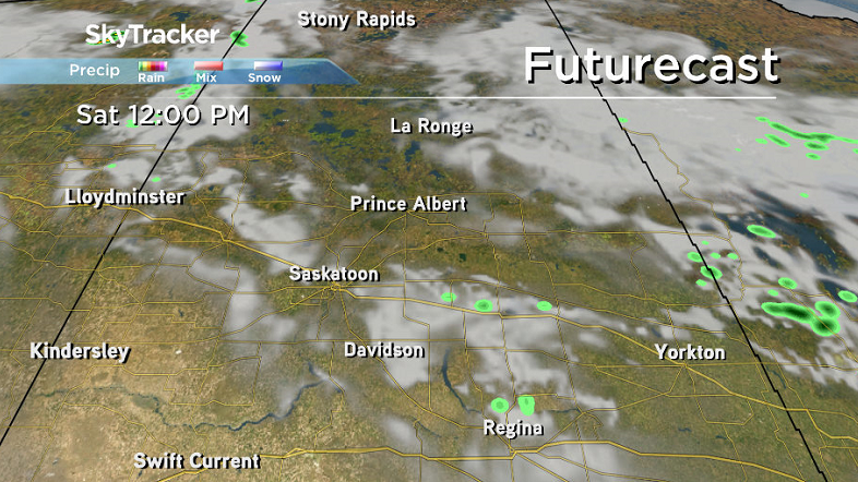
Mostly cloudy skies started the final day of June with temperatures dipping back to 8 degrees overnight before recovering back into low double digits by morning.
Some rain slid by just southeast of the city during the first part of the day before moving into Saskatoon just before noon as we warmed up to 20 degrees.
We’re expecting to sit along a weak trough for the rest of the day bringing in rain and a good chance of thunderstorms as we climb a few more degrees into the 20s for a daytime high.
Friday Night
Rain should ease off tonight, but clouds will continue as we cool back into low double digits overnight.
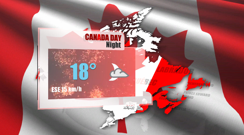
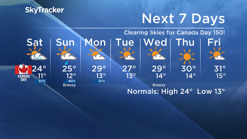
Canada Day 150 Saturday
Canada’s big 150th birthday will kickoff in the clouds for Saskatoon before skies start to clear during the day as an upper ridge pushes in, helping to keep winds fairly light.
That ridge will also help warm us up into the mid 20s by afternoon before cooling back into the high teens for fireworks and any outdoor Canada Day festivities in the evening.
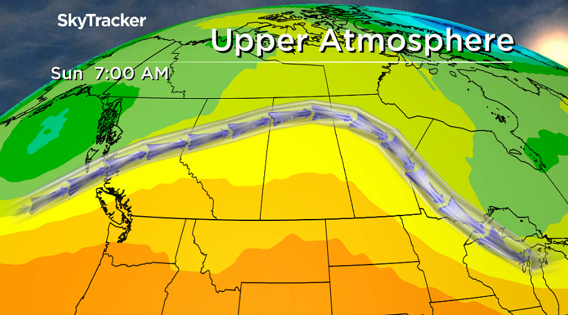
Sunday
A weak system sliding by to the south of the city will kick back up the clouds on Sunday with a chance of rain, particularly early in the day before we should get back into some late day clearing.
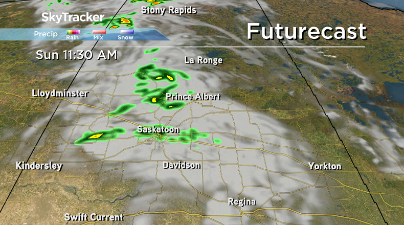
Depending on how much rain we end up getting, temperatures will climb up to around 25 or 26 degrees with easterly winds picking up to around 20 km/h in the afternoon.


Holiday Monday
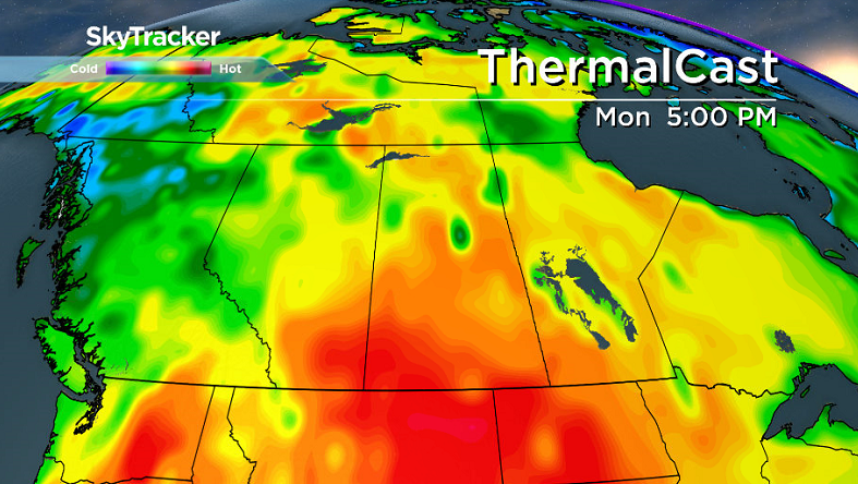
The full effects of the warm upper ridge will be felt on Monday with a bit more sunshine expected during the day as we heat up into the high 20s, possibly even reaching into the low 30s for a daytime high.
There is a slight chance of late day showers or thunderstorms that day with some instability present in the atmosphere.
Work Week Outlook
An upper ridge of high pressure is expected to dominate the rest of next week with predominantly sunny skies and daytime highs in the high 20s or low 30s across the board!
This Your Saskatchewan photo was taken by Len Dreger in Watrous:
Saskatoon weather outlook is your source for Saskatoon’s most accurate forecast and is your one stop shop for all things weather for central and northern Saskatchewan with comprehensive, in-depth analysis that you can only find here.
Comments