

A major winter storm threatens Southern Ontario early next week.

Environment Canada has issued a special weather statement for London, Parkhill, Komoka, Strathroy as well as Eastern and Western Middlesex counties.
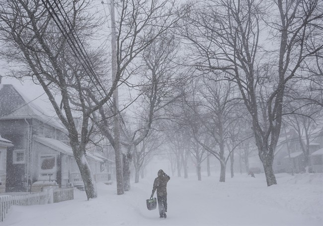
Forecasters say a developing low-pressure centre currently over the northwestern United States will move south of the Great Lakes by Monday.
According to the agency, 15 to 25 cm of snowfall is possible from Monday night through to Tuesday.
Snowfall is expected to be reduced further north towards Georgian Bay or into parts of Eastern Ontario.
Environment Canada says the snow should taper off by Tuesday night.


Forecasters say cold arctic air already in place over the Great Lakes will ensure that it will be a fluffier snow, potentially leading to issues with blowing snow as winds pick up during the storm.
Forecasters say winter storm watches and warnings will likely be issued as the system is tracked.
- Ontario First Nation declares state of emergency amid skyrocketing benzene levels
- ‘Sciatica was gone’: hospital performs robot-assisted spinal surgery in Canadian first
- Do Canadians have an appetite for electric vehicles? Experts are divided
- More financial institutes are offering crypto-services, survey shows
Comments