
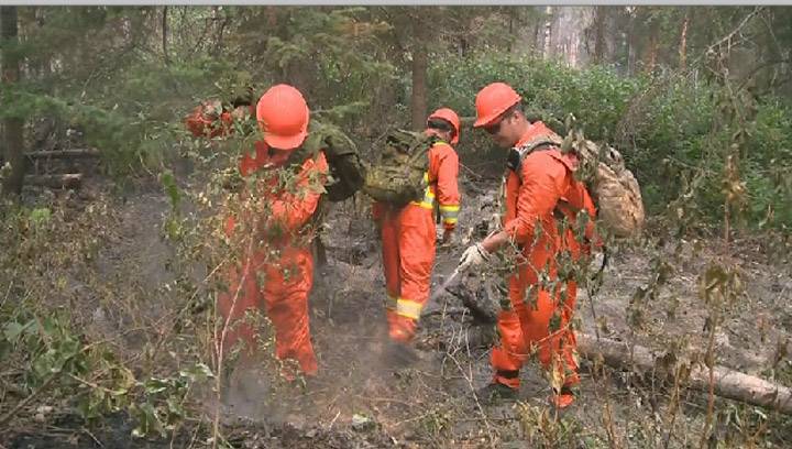
According to the government of Canada’s website, southern Manitoba is in the danger zone for forest fires.

RELATED: Temporary ban issued on open-air burn permits in Winnipeg
The Canadian Wildland Fire Information System shows the potential for forest fires across the country on its Fire Weather Index map using a number of different metrics.
RELATED: ‘It’s typical this time of year’: Winnipeg fire crews battle 12 fires in one night
The map shows much of western Canada is at the highest risk for forest fires in the area, as well as southern Manitoba.
Areas marked as red on the map show the areas at highest risk while blue and grey mark the lowest.
Mass evacuations have been ordered in Alberta after an out of control wildfire endangered multiple communities. The Fire Weather Index map shows these areas are in extreme risk of wildfire.
READ MORE: More evacuations as fire situation in Fort McMurray intensifies
Southern Manitoba’s risk of wildfire drops slightly to high on Wednesday but flares back up to extreme by Thursday and is expected to remain there until at least May 8. These photos are from the Government of Canada website.


May 3 compared to May 8
Comments