
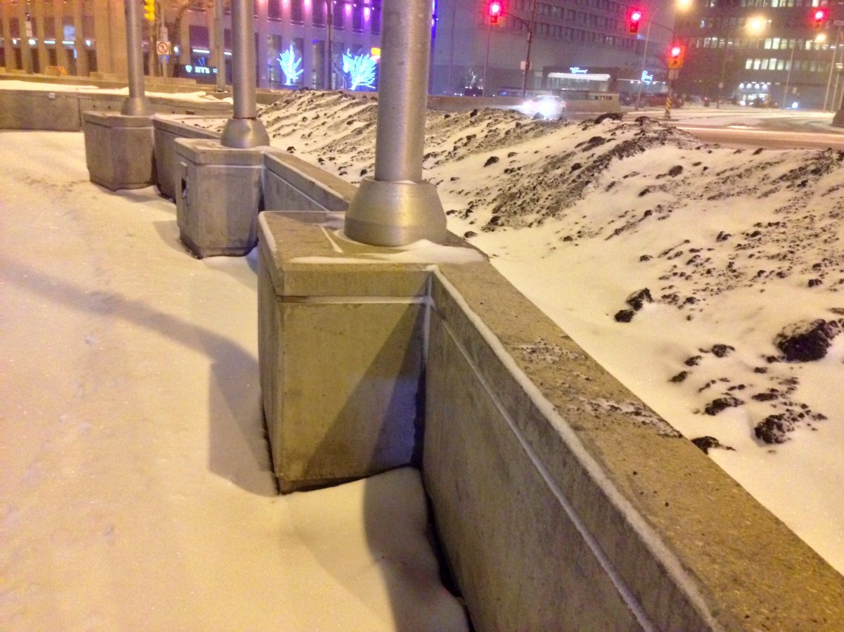
WINNIPEG — Southern Manitoba got a snowy makeover since Wednesday.

RELATED: First blast of winter on the way for Winnipeg
High winds made snowfall accumulations difficult to measure but general amounts were roughly 2-4cm. Snow will continue Thursday in southeastern Manitoba with another 5, even 10cm possible by the evening. Thursday night and into Friday, cool northwesterly winds will likely continue to create lake effect flurries but snow should be wrapping up around the province by midnight.
READ MORE: Major delays on morning commute following first blast of snow in Winnipeg
https://twitter.com/MikeOnGlobal/status/667330759003238400
RELATED: Special Weather Statement issued for first blast of winter in Manitoba
Northern Manitoba is still expecting significant snowfall. Blizzard and Winter storm warnings continue into the midday Thursday. Island Lake area is likely to see the most snow with another 10-20cm expected by late Thursday. Strong winds are also likely to persist, limiting visibility to less than 400 meters at times.
Comments