
While some parts of B.C. are still caught up in a major winter storm, temperatures are expected to soar on the Lower Mainland today.

The winter storm that has been hammering many parts of the province since Sunday will continue to affect a few areas this morning.
Ten centimeters of snow will fall today in the Columbia region and the Cariboo/Central Interior. Snow and freezing rain will persist on the North and Central Coast.
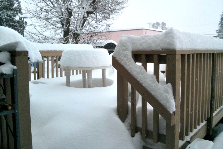
Some parts of B.C. received heaps of snow Monday night: downtown Squamish got 29 centimeters, Kelowna – 33 centimeters, Naskup – 40 centimeters, and residents of Salmon Arm had to deal with a 46-centimeter accumulation.
More B.C. schools were closed Tuesday due to the snow and winter weather.
Global BC meteorologist Mark Madryga says most of the Southwest Interior will be milder and much drier today, although considerable snow remains on the ground this morning as temperatures stay at the sub-zero mark.


On the Lower Mainland, a very mild flow of air from the subtropics will send temperatures into double digits and possibly to record high values for the date.
Vancouver will experience a high of 12 today.
Dry and mild weather will hold on the South Coast through Thursday.
Comments