
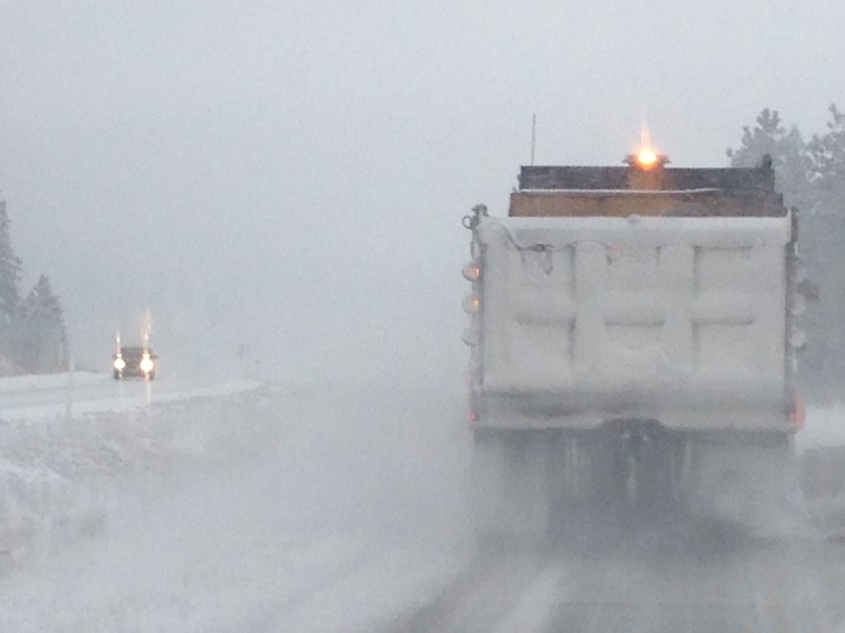
The snow has already started and colder temperatures are on the way for the Okanagan. Environment Canada has issued special weather statements from the Similkameen to the Shuswap.

A heavy snowfall warning (up to 20 – 30 cm by Saturday night) is in effect for the following highways:
– Okanagan Connector (Merritt to Kelowna)
– Trans Canada Highway (Eagle Pass to Rogers Pass)
– Highway 3 (Hope to Princeton via Allison Pass)
About 5 cm of snow is forecast to fall in Kelowna and Vernon Saturday, with 2 cm expected for Penticton.


Environment Canada is also warning a cold snap is on the way, with arctic air expected to move into the Southern Interior starting Sunday.
“A strong ridge of high pressure from Yukon will advance towards the British Columbia Interior on Sunday morning,” according to Environment Canada. “The cold Arctic air associated with this ridge will spread from north to south on Sunday, with temperatures lowering at least 10 degrees below seasonal normal persist for several days.”
For the latest road conditions, visit the DriveBC website.
The winter weather had some benefits if you live in the Vancouver area, however.
Comments