
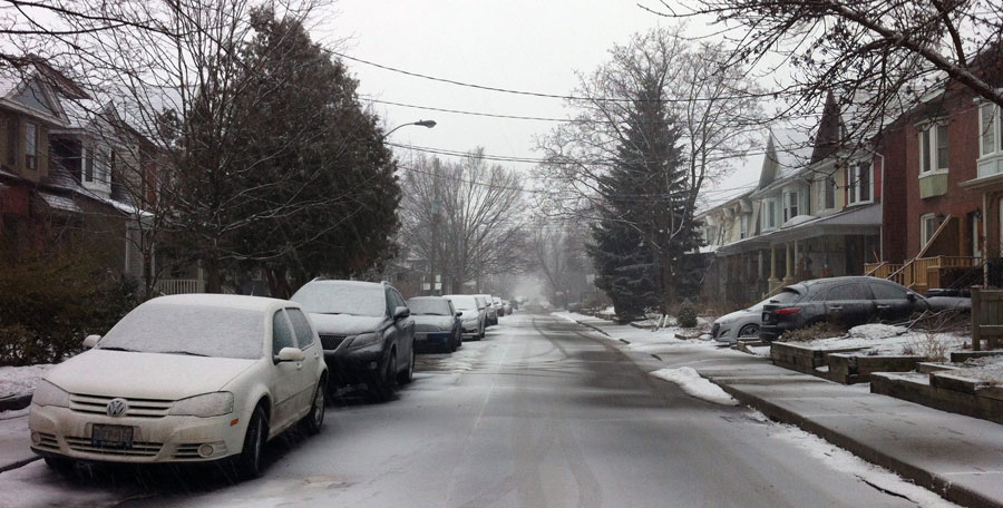
TORONTO – Environment Canada issued a special weather statement for parts of southern Ontario calling for the “first significant snowfall of the season.”

The statement comes just days after parts of northwestern Ontario received 15 to 20 cm of snow.
The statement was issued for the following areas:
- Mount Forest – Arthur – Northern Wellington County
- Orangeville – Grand Valley – Southern Dufferin County
- Shelburne – Mansfield – Northern Dufferin County
- Hanover – Dundalk – Southern Grey County
- Owen Sound – Blue Mountains – Northern Grey County
- Bancroft – Hastings Highlands – Denbigh
- Town Of Parry Sound – Rosseau – Killbear Park
- Huntsville – Baysville
- Haliburton
- Barry’s Bay – Killaloe
- Algonquin
- Burk’s Falls – Bayfield Inlet
A low pressure system is developing over eastern Lake Superior Thursday. It’s expected to make its way toward the lower Great Lakes by Friday.
Temperatures will be above zero, so any precipitation that falls will start off as rain. However, as the mercury begins to drop Friday evening, the rain is expected to change to snow.


Howver, east of Georgian Bay and over the Haliburton highlands the snow will begin overnight Thursday and continue through to Friday.
Five to 10 centimetres of snow is possible, particularly over areas of higher elevation. However, it’s not expected to accumulate.
In the Greater Toronto Area, trick-or-treaters may also experience some wet snow as temperatures fall in the evening.
To get real-time weather for your area, download the Global News Skytracker weather app.
Comments