
TORONTO – As Tropical Storm Karina continues to churn in the east Pacific Ocean, another tropical storm is brewing behind it.

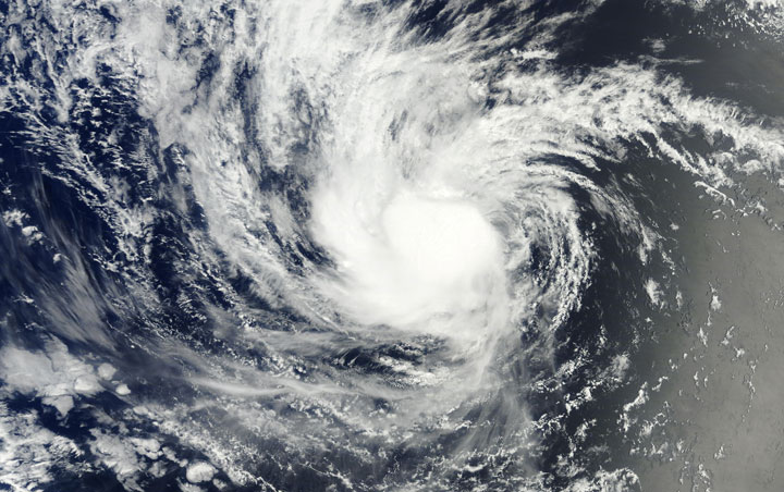
Tropical depression 12E formed on Sunday afternoon about 1,000 km southwest of the southern tip of Baja, California. As of Monday morning the storm was producing maximum sustained winds of 55 km/h. The National Hurricane Center in Miami, Florida, anticipates the depression could form into a tropical storm by late Monday.
READ MORE: Forecasters have higher expectations for slow Atlantic hurricane season
Meanwhile, Tropical Storm Karina is taking a rather strange track.
Karina developed into a hurricane late Thursday, but lost some of its punch and was downgraded to a tropical storm Friday.

Karina is moving west-southwest at 15 km/h. However, preliminary tracking data has the storm moving west over the next couple of days before turning back toward the east.
The storm’s maximum sustained winds are 75 km/h, though some strengthening is possible during the next two days.
Comments