
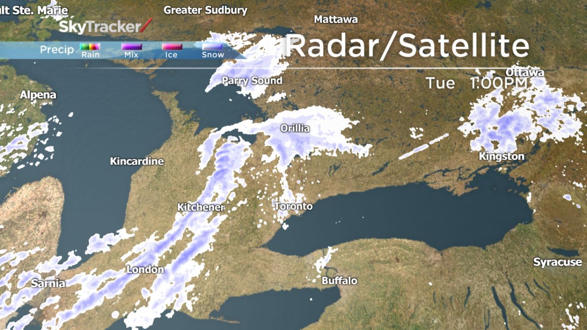
TORONTO – Environment Canada has issued a snow squall watch for parts of southern Ontario as cold air is expected to move into the region. A special weather statement is also in place for much of the region.

A band of snow is moving from southwestern Ontario south toward Lake Ontario. As of 2:30 p.m., it had moved through London. The band extends toward the Barrie and Orillia area.
The good news, though, is that it’s not a lot of snowfall: about 5 cm in most regions.
READ MORE: Spring snowstorm set to wallop Atlantic Canada
The snow is expected to move into regions near Lake Huron by the afternoon and reach Toronto later this afternoon.
However, the wind may reduce visibility on roads and motorists are advised to be prepared for whiteout conditions.
Temperatures will dip to around -12 C overnight after the snow moves on, with Wednesday being the last truly cold day of the week with a high of 6 C.
For more info on your weather, visit our Skytracker page.
Comments