
People have long been fascinated with how the Egyptian pyramids were built, floating theories from the construction of expansive causeways to extraterrestrial assistance.

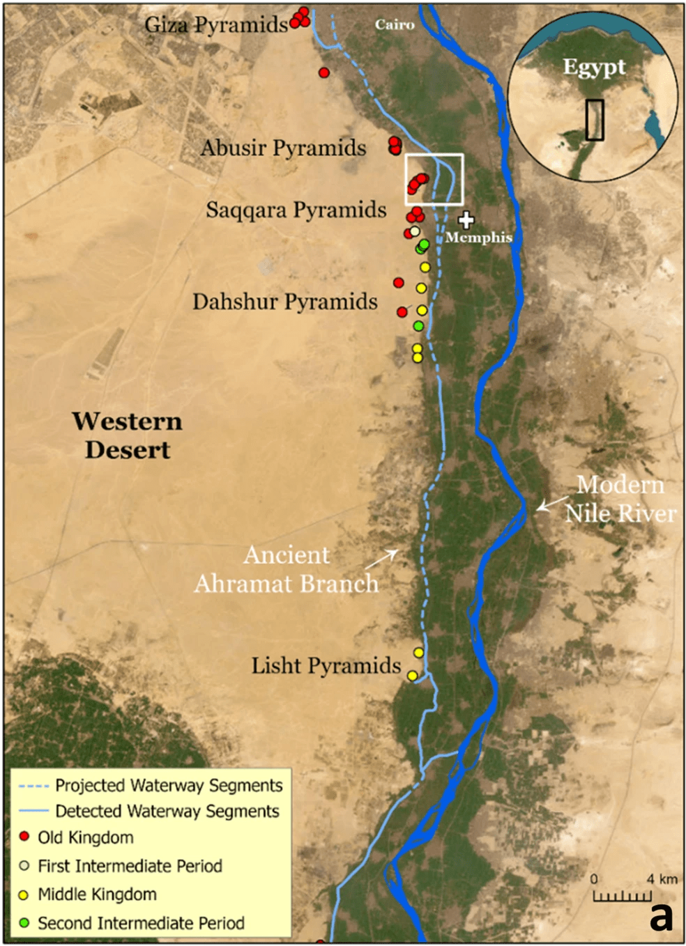
Now scientists have evidence to support another theory, centred around the discovery of a long-lost branch of the Nile that would have run alongside 31 ancient pyramids built between the 27th and 18th centuries BC.
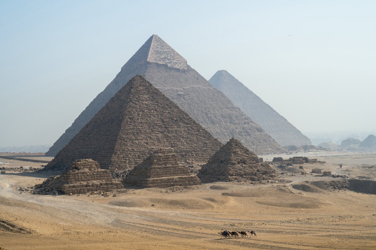
Though the pyramids today sit on a sandy, desert plateau near the ancient Egyptian capital of Memphis, a newly published study maintains the region was once home to a bustling river branch that was likely a vital means of transportation.
Researchers named the 64-kilometre river branch Ahramat (the Arabic word for “pyramids”) and said it was likely used to float large stone blocks for the construction of the pyramids. Many of the stones originated from hundreds of kilometres south of where the pyramids stand today, with some weighing more than a ton.
The river likely also transported other equipment and people.
Geomorphologist Eman Ghoneim, the study’s lead researcher, told National Geographic she and her team from the University of North Carolina Wilmington believe the lost river “was a superhighway for ancient Egypt.”
The lost waterway was discovered using radar satellite imagery. The technology allowed scientists to identify buried rivers and ancient structures under the sand. Soil and sediment samples were also analyzed.
Researchers involved in the study, published in the journal Communications Earth & Environment, are the first to map the ancient waterway’s course. They claim Ahramat would have been just short of a kilometre wide in places, and more than 24 metres deep in others.
By this logic, scientists have added fuel to the theory that ancient Egyptians could have used boats to ferry the pyramid’s construction materials and workmen along the river branch.
Today, where the waterway would have been is covered with desert terrain and farmland.
Ahramat’s discovery may also explain why some of the pyramids are situated farther east than others. Scientists said pyramids constructed during Egypt’s Middle Kingdom (about 2030 to 1650 BC) era were built eastward because the waterway had migrated since the Old Kingdom era (about 2650 to 2130 BC).


Many of the pyramids have causeways that pointed to the Ahramat branch, causing scientists to believe they likely led to since-vanished harbours.
- Actor Nick Pasqual arrested at U.S.-Mexico border on attempted murder charge
- Alligator shot, killed after woman’s remains found in its jaws in Texas bayou
- What happens next after Trump conviction? Some key questions answered
- Teen gets preliminary terrorism charges for alleged Paris Olympics attack plan
The waterway may have later filled with silt during a major drought and sandstorms in the region about 4,200 years ago, the study suggests.
The theory that ancient Egyptians may have used a waterway to transport building materials is one that has persisted among archaeologists for years now, though evidence such as this had never been discovered. Researchers had, however, already identified evidence of water channels at different sites in the Memphis region.
The study mapped Ahramat from the town of Lisht, around 50 kilometres south of Cairo, to the Pyramids of Giza site. Scientists now plan to continue their mapping north and south of the pyramids and will radiocarbon date plant and seashell remains buried in the region to attempt to determine the age of Ahramat.
Researchers said understanding the historical layout and evolution of the Nile is vital to comprehend how changes in the landscape influenced human activities and settlement in Egypt.
Today, only small remnants of the Ahramat branch remain, namely the Bahr el-Libeini canal.


Comments