


Spring will end on a cooler note this year.

The chance of showers lingered throughout Monday while temperatures were expected to climb back into the upper teens.
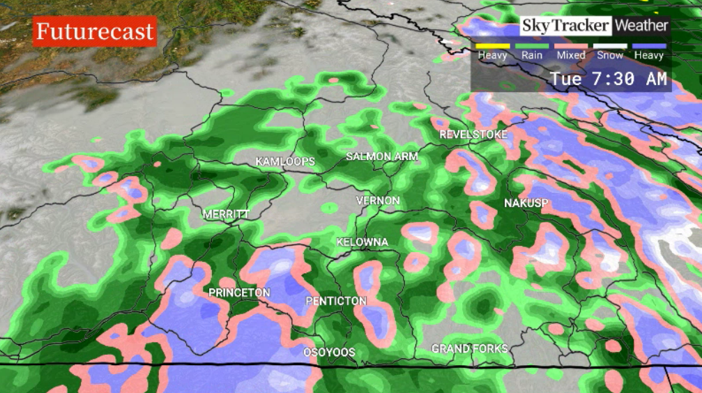
Then steadier, much-needed rain is anticipated throughout the day on Tuesday with afternoon highs in the low teens.
Snow is possible at elevations above 1,600 metres Tuesday night and a special weather statement is in effect for the Okanagan Connector.

Get daily National news
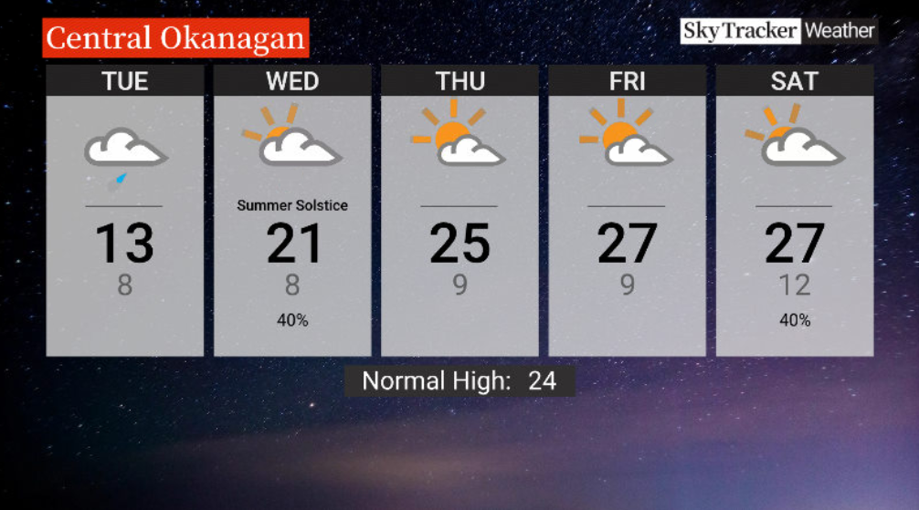
Summer will officially begin Wednesday morning at 7:57 p.m. with a damp, cooler day ahead and a daytime high in the low 20s C.
A mix of sun and cloud will return to the region for the first days of summer Thursday and Friday with highs returning to the mid-20s C.
Temperatures will continue their climb into the upper 20s C for the last weekend of June and first weekend of summer with a chance of showers returning.
- Impact of extreme heat ‘underestimated’ on those 60 and older: Lancet study
- Has there been an increase in big earthquakes worldwide this year?
- Canadian wildfire season has “accelerated significantly”: officials
- Summerland residents begin returning home as roughly 1,200 properties cleared for re-entry


For weather on the go download the Global News SkyTracker Weather App for iPhone, iPad or Android.


Comments
Want to discuss? Please read our Commenting Policy first.