

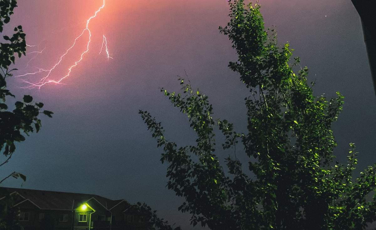
Meteorologists say parts of central and northern Alberta could see severe thunderstorm activity and strong winds with the potential to trigger tornadoes later Tuesday.

Environment Canada issued a severe thunderstorm watch for much of central Alberta Tuesday afternoon, including Edmonton.
Many of the severe thunderstorm warnings at 4:20 p.m., including those for Yellowhead County, were downgraded to severe thunderstorm watches as of 8:20 p.m. Parts of Athabasca County were still under severe thunderstorm warnings.
Severe thunderstorm warnings were rescinded for the Wood Buffalo area as of 8:20 p.m. Tuesday.
“This severe thunderstorm is located over Northville and is moving to the northeast at 30 km/h.”
The government weather agency said severe thunderstorms are possible in the afternoon and into the evening.
Severe thunderstorm watches are issued “when atmospheric conditions are favourable for the development of thunderstorms that could produce one or more of the following: large hail, damaging winds, torrential rainfall.”
Global Edmonton meteorologist Jesse Beyer said it looks like the most active time for areas northwest of Edmonton will be between 5 p.m. and 7 p.m.

Get breaking National news
Sara Hoffman, a meteorologist with Environment and Climate Change Canada, said Alberta should expect typical summer severe weather on Tuesday and into Wednesday.
She said that could include localized heavy rain, large hail and the possibility of tornadoes.

Precipitation amounts aren’t expected to be too high in northern Alberta, B.C. and the Northwest Territories, where there are wildfires burning.
The rain in some parts of the province will help the wildfire situation, Hoffman said, but it’s not enough.
“We’ve come into the summer season at quite a deficit with precipitation, and even a normal precipitation year for summer, and in particular June, won’t be enough to make up for the deficit that we’re in.
“We’re going to need a number of days of precipitation and more than normal precipitation to kind of dig us out of this hole.”
However, the forecast for June shows less than normal precipitation amounts — not more.

The weather system that’s bringing rain will also trigger a wind shift. Winds have been coming from the south but will now shift and come from the north.
That means wildfire smoke will return to communities in central and southern areas of the Prairies by the end of this week.
As of 11 a.m. Tuesday, the Air Quality Health Index for Edmonton was a Level 5. It was forecast to rise to a Level 7 (high risk). It was listed as a Level 4 in Calgary.
The shift in wind will also affect wildfire behaviour.

Hoffman said Canadians should expect more wildfire seasons like the current one.
“As our climate continues to change with warming, we’ll expect to see a longer wildfire season, a more intense wildfire season, with fuels — so that’s grass or boreal forest, whatever the fuel is to burn — drying out because of those increased temperatures, and an increased frequency of lightning.
“In terms of exactly how much more frequent, we don’t have a number there, but what we can say is the wildfire seasons will become more intense and more intense more frequently, if that makes sense,” Hoffman added.
“There will be more years like this one repeating in the future.”
Comments