
It was a beautiful, sunny start to the week Monday, with temperatures expected to head up to 30 C by midday.

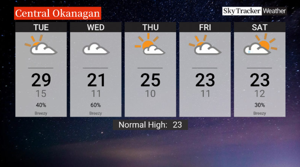
Clouds should return to the region Tuesday with a chance of showers and a risk of a thunderstorm as afternoon highs duck toward the upper 20s C.
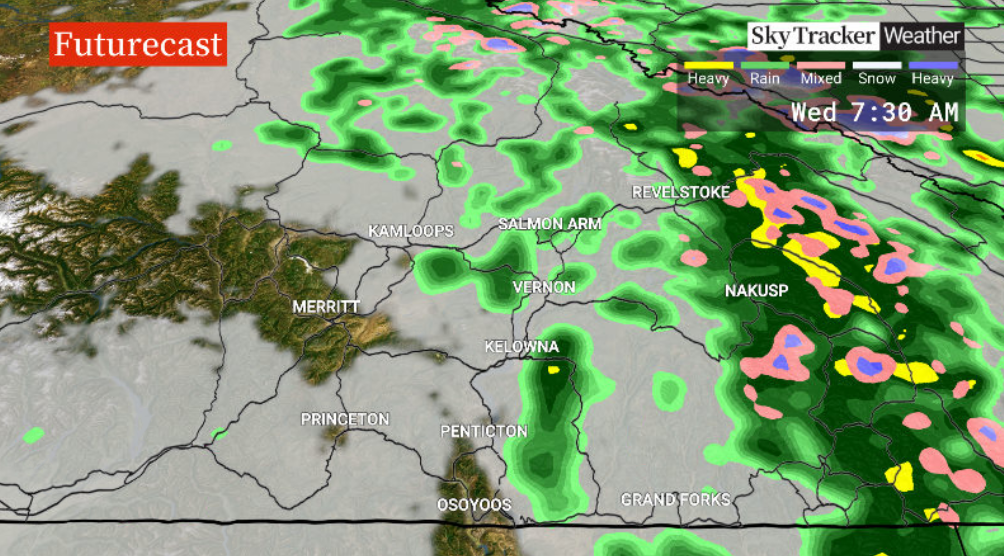
There’s a chance of showers on Wednesday with a big drop in temperatures behind a cold front.
Daytime highs will struggle to get into the low 20s C before returning to the mid-20s C under a mix of sun and cloud on Thursday.

Get daily National news
More clouds will move in to finish the week on Friday with a high around 23 C.
After a sunny start on Saturday, clouds will return with a high temperature similar to Friday before showers and upper teen temperatures return for Father’s Day Sunday.


For weather on the go download the Global News SkyTracker Weather App for iPhone, iPad or Android.


Comments