
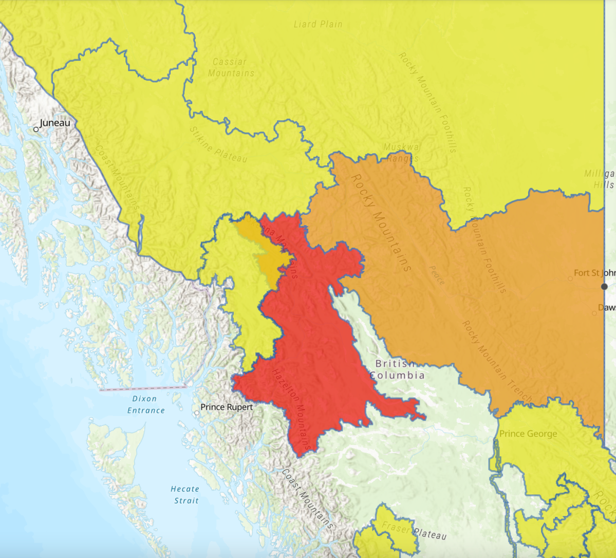
The River Forecast Centre has upgraded a number of areas in B.C.’s Peace Region to a flood watch.

Environment and Climate Change Canada expect a downpour of rain to begin early Monday morning and continue through Tuesday night in the Peace River and Southeast Fort Nelson Region, south of Mile 202 rest stop.
The areas included in the flood watch are tributaries around Fort St. John, Taylor, Chetwynd, Moberly Lake, Pine Pass, Hudson’s Hope, and Dawson Creek.
Rainfall totals are forecast to be 50 to 75 milimetres with amounts approaching 100mm for southern areas of the B.C. Peace River District.
With extremely warm conditions across the region, snowmelt rates have been high over the past week.
According to the River Forecast Centre, many rivers are flowing relatively high for the season and will be vulnerable to additional rainfall input.


“The general pattern of the weather event is similar to 2011 and 2016 when substantial flooding occurred in the region,” said the River Forecast Centre.”The intensity of potential flooding will be dependent on the location, duration, and magnitude of the incoming storm event.”
Rivers and creeks are expected to respond rapidly and peak late Monday through Wednesday depending on the size and elevation of the watershed.
The public is being advised to stay clear of fast-flowing rivers and potentially unstable riverbanks as well as avoid any recreational activities on high streamflow rivers or streams.
Comments