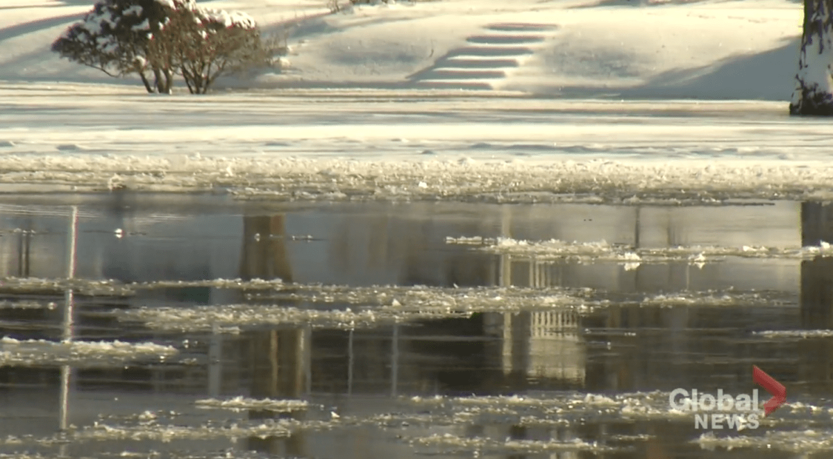
Otonabee Conservation has extended its flood watch for sections of the Trent-Severn Waterway in Peterborough, Ont., and the surrounding area.

The Peterborough-based conservation authority on Thursday said high flows are expected to continue along the Otonabee River for the next seven to 10 days due to the recent rainfall and snowmelt across the region.
The flood watch — first issued on Jan. 5 and extended for another week — impacts the waterway in the Kawartha Lakes, Otonabee River, Rice Lake and Trent River to Hastings.

Get daily National news
However, the conservation authority notes a winter storm expected later Thursday and into Friday will bring cold temperatures over the weekend. Along with a lack of ice cover and turbulent flows on the Otonabee River and other watercourses, there is concern frazil ice may form, which could lead to flooding.
“Where frazil ice accumulates, it is likely to cause a restriction of water flow downstream, thereby resulting in a rise of water, and possibly flooding, behind the frazil ice jam, said
The conservation authority’s jurisdiction includes Peterborough, sections of the City of Kawartha Lakes and the townships of Asphodel-Norwood, Cavan Monaghan, Douro-Dummer, Otonabee-South Monaghan and Selwyn as well as the Municipality of Trent Hills.
The flood watch will remain in effect until Thursday, Jan. 19
Area water level information can be monitored online at:
- Trent-Severn Waterway’s Water Management InfoNet
- Water Survey of Canada Real-Time Hydrometric Data
- Otonabee Region Conservation Authority website


Comments