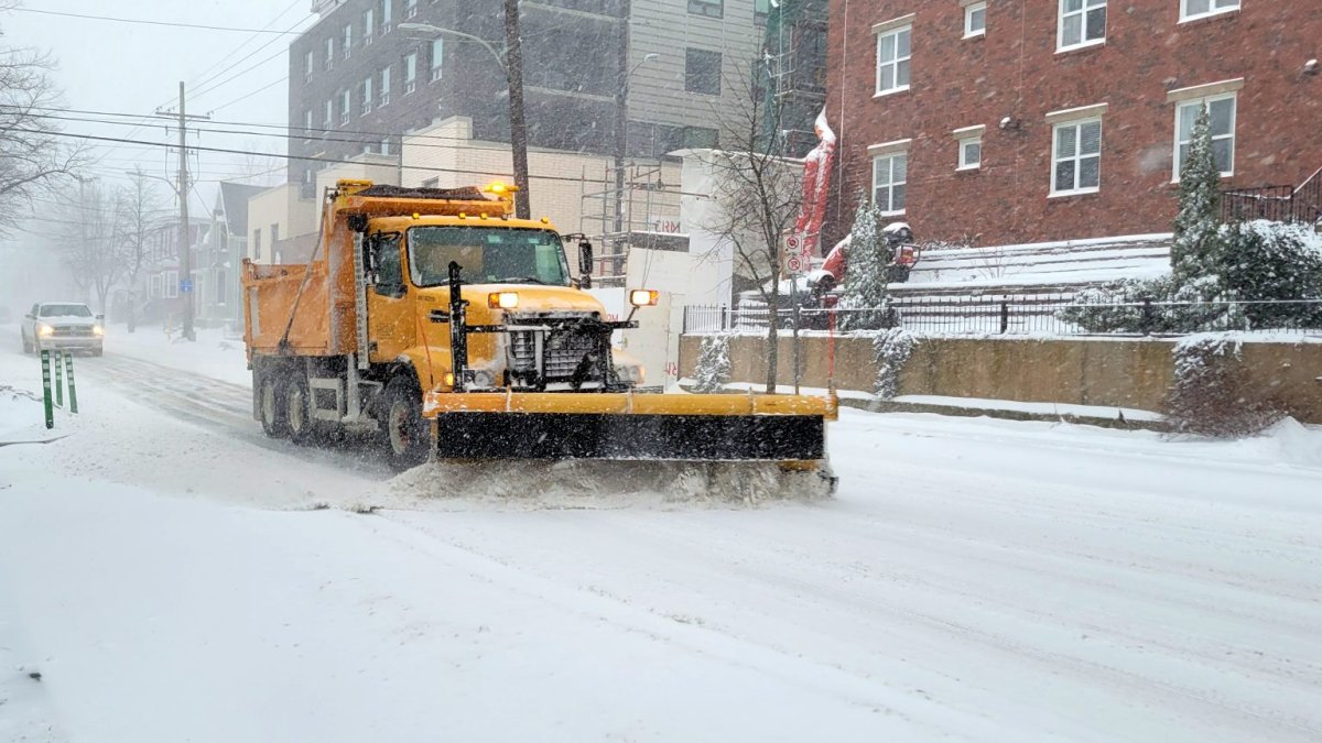
There is a new way for Kitchener, Ont., residents to get around town during a snow event.

The city has introduced an online map called Getting Around.
In a news release, the city said the map is designed to help residents plan their route in the event of a declared snow event in Kitchener.
They say the map will be available after a snow event is declared by the city.
Once it is declared, the map will show what roads have been treated most recently by a winter maintenance vehicle, and the time range for when that road was last serviced by a winter maintenance vehicle.
The map will remain available until 24 hours after the snow event has been cancelled.
Residents can get a link to the online map by signing up at the City of Kitchener’s website.


Comments