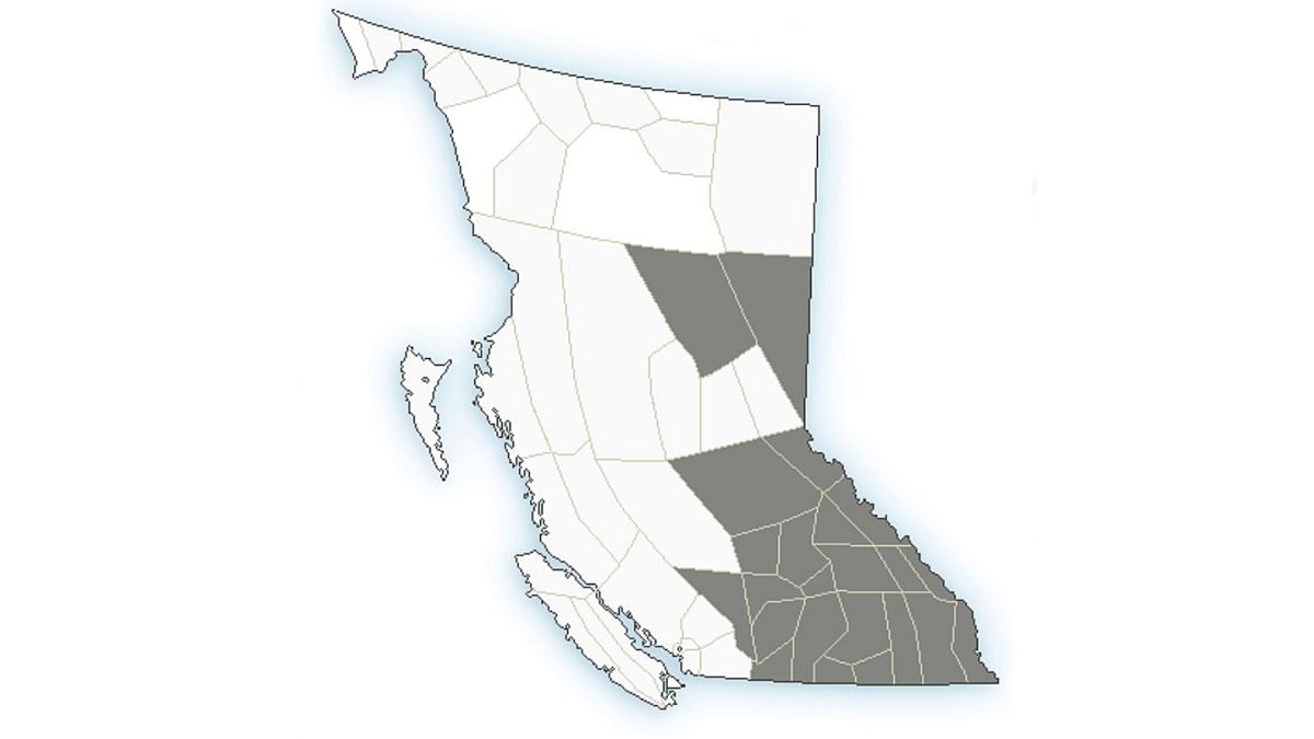
Environment Canada says many regions of B.C.’s Interior will be impacted by wildfire smoke over the next 24 to 48 hours.

Issued on Saturday, the air quality statements stretch from the Fraser Canyon in the west to the Alberta border in the east, and from Cariboo in the north to the U.S. border.
“Wildfire smoke impacts are present or expected to occur across much of the Interior and north-east,” said the national weather agency.
“Impacts are due to long-range transport from fires in Washington and Oregon as well as smoke from local wildfires.”
Environment Canada says the smoke may clear in some areas this afternoon, as an upper-level low moves through the Southern Interior, but conditions are expected to persist in most areas overnight.
The website Firesmoke.ca has an interactive map that shows predicted smoke patterns from wildfires across North America.
Also, the province’s Air Quality Health Index provides hourly readings.

The AQHI scale runs from 1 to 10-plus, and is divided into four categories: Low risk (1-3), moderate risk (4-6), high risk (7-10) and very high risk (10-plus).
At 4 p.m., for example, the Central Okanagan was rated at a 3 (low risk) while the North Okanagan was at 4 (moderate risk) while Castlegar and Cranbrook were both at 6 (moderate risk).
- Canadian man dies during Texas Ironman event. His widow wants answers as to why
- ‘Shock and disbelief’ after Manitoba school trustee’s Indigenous comments
- Several baby products have been recalled by Health Canada. Here’s the list
- ‘Sciatica was gone’: hospital performs robot-assisted spinal surgery in Canadian first


Comments