
Environment Canada sent out a series of weather statements Wednesday alerting area residents to significant rainfall on B.C.’s Interior mountain passes.

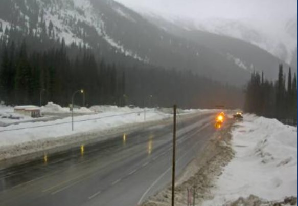
The Coquihalla Highway from Hope to Merritt, B.C., is already closed due to damage wrought by a series of intense storms, and on Wednesday conditions may get worse.
“The last of the three systems to affect the coast is giving rain to the area (Wednesday),” Environment Canada said. “Additional rainfall amounts of 30 to 40 mm are expected over western and upslope sections of the highway before the rain eases and changes to periods of light flurries late this evening.”
Areas north of Coquihalla Summit are expected to receive lesser amounts.
The Trans-Canada Highway, from Eagle Pass to Rogers Pass, West Columbia, Yoho Park to Kootenay Park, and Kinbasket, is also expected to get hit by heavy rain.

Get daily National news
Another frontal system brings periods of heavy rain to the region Wednesday, Environment Canada said, adding that rainfall of up to 25 millimetres is expected.
Freezing levels will be near 2,000 metres Wednesday.


“Elevated freezing levels combined with heavy rain may result in potential runoff due to snowmelt and increased risk of localized flooding,” reads the warning.
The rain follows four atmospheric rivers that hit B.C. this month. The first one caused deadly landslides and displaced thousands of people.
A new national warning system for atmospheric rivers is in the works, though it still may be years away from completion, according to Environment Canada and Climate Change Canada.
Atmospheric rivers tap into subtropical moisture near the equator and sweep across the Pacific Ocean — normally in a northeasterly direction — to hit the west coast of Canada and the United States.
Comments
Want to discuss? Please read our Commenting Policy first.