
Environment Canada issued a special weather statement for the middle of the province on Saturday at around 5:30 p.m., warning that the following day would bring a “potent cold front” and “band of active weather through Alberta.”

“Rain showers, flurries and weak thunderstorms along with strong winds will move from northwest to southeast across the province,” the weather agency said.
“Bursts of heavy snow accompanied by strong winds will result in quickly changing and deteriorating travel conditions.”
Winds up to 120 kilometres per hour are expected to develop in the southern foothills Saturday.
The weather will affect Edmonton by late Sunday afternoon and areas along Highway 1 east of Calgary by the evening.

Scattered flurries and winds gusting between 70 to 90 kilometres per hour will continue until Monday morning.
“Temperatures will be in the 10 to 15 C range during the day Sunday but will quickly drop to below zero with the passage of this cold front,” Environment Canada said. “Cool temperatures and brisk winds will stick around for Monday but temperatures are expected to rebound by mid-week.”

Get daily National news
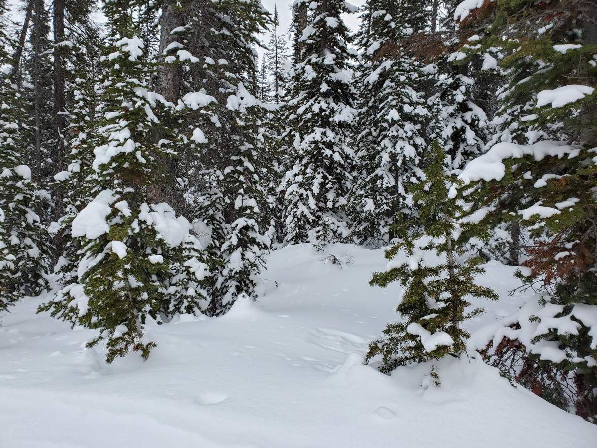
In southwestern Alberta, snowfall will intensify along the eastern slopes of the Rockies on Sunday night, “bringing up to 20 centimetres of snow by Tuesday morning,” according to the weather agency.

- Flattened trees, damaged buildings caused by 2 tornadoes near Kingston: researchers
- Brandon, Man., declares state of emergency; river levels expected to continue rising
- Military support coming to flood-ravaged Parkland region after federal approval
- Tornado warning ends for Chatham-Kent – Rondeau Park


Winter storm warnings were issued for Jasper and Banff national parks. Snowfall is expected to start Saturday night and get heavier overnight into Sunday. Total snowfall accumulations will be variable, with Environment Canada providing a range of 25 to 40 centimetres.
The agency issued snowfall warnings for Fort Chipewyan, Wood Buffalo National Park, High Level, Rainbow Lake, Fort Vermilion and Mackenzie Highway.
“Rain and snow will begin tonight bringing 10 to 15 centimetres of snow by Sunday morning. Areas near the Northwest Territories border will see close to 25 centimetres by Sunday night,” the agency said.
“Areas south of High Level will see rain or wet snow tonight with five to 10 centimetres of snow by Sunday morning. There will also be a risk of freezing rain.
“Weather alerts have already been issued for several regions in Alberta in advance of this storm and may be expanded as this system develops,” Environment Canada said.
Comments
Want to discuss? Please read our Commenting Policy first.