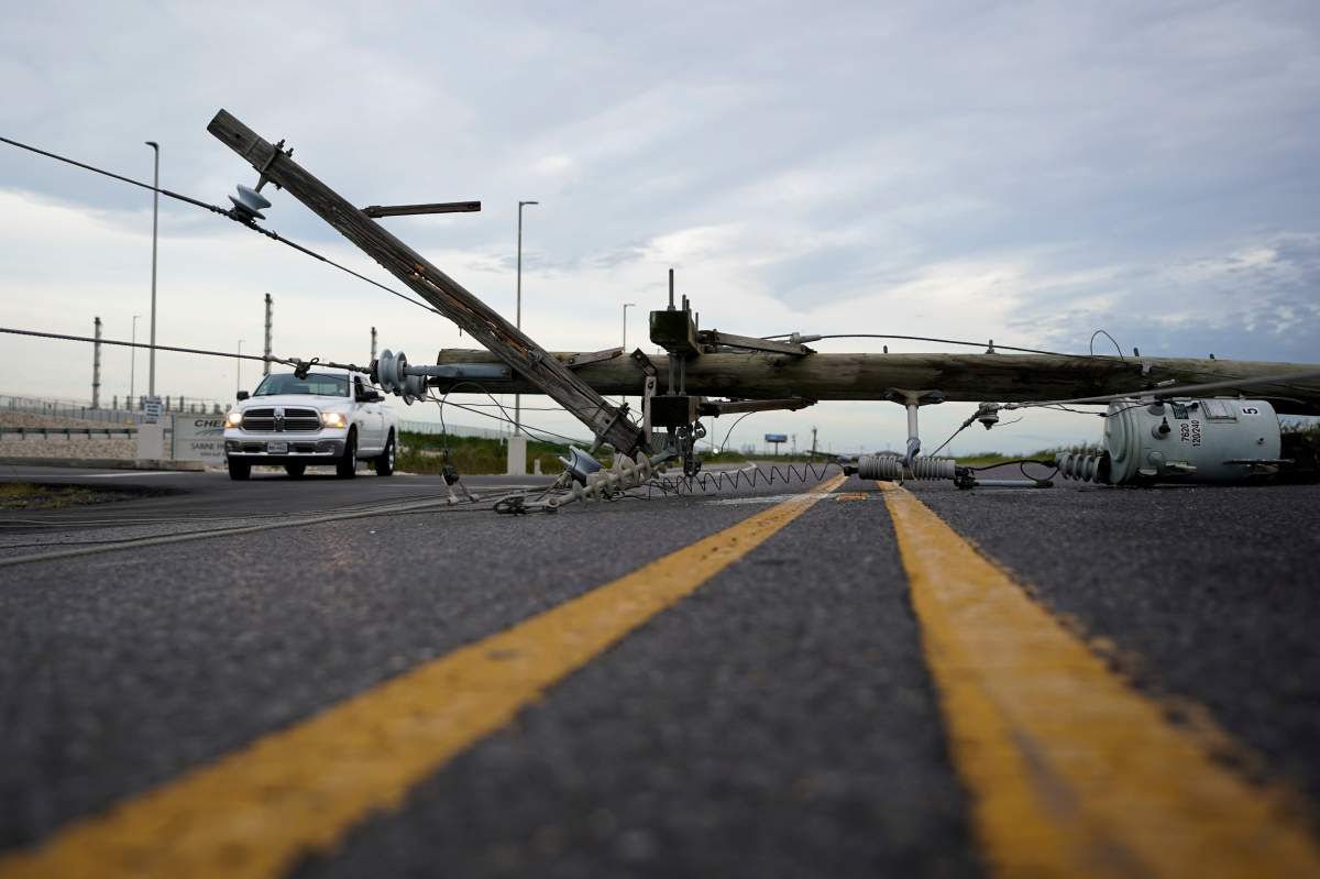
Hurricane Laura may have weakened after making landfall over Louisiana and Texas, but the damage scattered across coastal towns underlines the storm’s strength.

The storm slammed the coast at around 2 a.m. ET on Thursday as a Category 4 hurricane, with winds of up to 241 km/h. About six hours later, it weakened to a Category 2 storm but continued to batter a stretch of both states with damaging winds and torrential rain.

It dropped to Category 1 status shortly after 9 a.m. ET on Thursday, according to the National Hurricane Center.
In Lake Charles, a city of 80,000 people on Lake Calcasieu in Louisiana, residents were warned their town could take a direct hit.
As dawn broke early Thursday and the eye of the storm passed, the scope of the damage became clear.
Videos posted on social media by local news and weather outlets showed homes almost entirely underwater, with shingles torn off roofs and downed trees strewn across neighbourhoods.
The tall-standing Capital One building in Lake Charles has been left with gaping holes where glass windows used to be. Lights could be seen flickering from inside and curtains waving between broken panes as the sun started to rise Thursday.
In the height of the storm, videos posted on Twitter showed extreme wind and rain battering the town. Traffic signs and trees could be seen fluttering from the strength of the wind, vehicles were overturned and debris sent soaring across roads.
Louisiana appears to have borne the brunt of the weather so far, but the storm centre continues to move across the state and Texas-Louisiana border.
Hundreds of thousands of people were ordered to evacuate ahead of the hurricane, but not everyone did. Hours after the storm made landfall, the rain and wind were still too strong for authorities in Louisiana to check in on those who decided to stay.

Get breaking National news
Officials hoped to reach any stranded people later Thursday, but fears of floodwaters and downed power lines could hamper the efforts.
“There are some people still in town, and people are calling… but there ain’t no way to get to them,” Tony Guillory, president of the Calcasieu Parish Police Jury, told The Associated Press via phone during the storm.
The National Hurricane Center had predicted an “unsurvivable” storm surge of 15 to 20 feet in the Port Arthur, Texas, area and a swath of Louisiana, which included Lake Charles. A wall of seawater could also get pushed as far as 40 miles inland, forecasters said.
Rising waters moved ashore quickly in Port Arthur. Flash flood warnings remain in place for much of the area, as well as numerous towns and communities farther inland.
Hundreds of thousands of people also remain without power in both Louisiana and Texas.
Forecasters expect the weakened hurricane to continue to cause widespread flooding in areas far from the coast.
In Texas, the damage was not as severe.
Photos posted online show flooded streets and downed trees and power lines, but nothing to the extent of the damage assessed so far in Louisiana.
However, early reports indicate that the damage in the wake of Laura was less than what was initially feared.
FEMA administrator Peter Gaynor told ABC’s Good Morning America that the storm surge was less intense than what was forecasted, though officials still anticipate severe damage to buildings once a proper survey of the disaster zone can be completed.
As of Thursday morning, the storm was moving across southwestern Louisiana. Forecasters expect it will continue north across the state through the afternoon, with the storm centre predicted to hover over Arkansas Thursday night and the Mississippi Valley on Friday.

The mid-Atlantic states will see the brunt of the storm on Saturday, they said.
Heavy rainfall, severe winds and even tornadoes are possible Thursday and Friday across Louisiana, Arkansas and western Mississippi.
— with files from the Associated Press


Comments