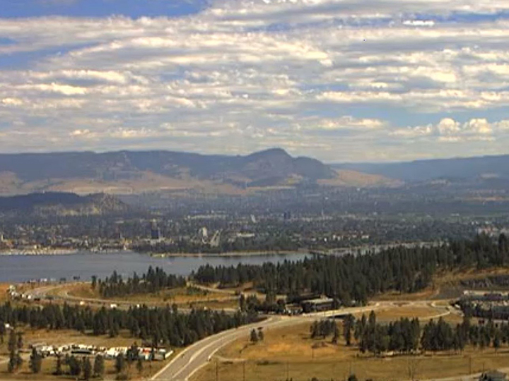
It was another record-setting day for hot temperatures in the Okanagan on Monday.

According to Environment Canada, Kelowna, Penticton and Summerland set new daily highs, courtesy of a strong ridge of high pressure that’s parked over B.C.’s Southern Interior.
The national weather agency says the mercury reached 38.4 degrees in Kelowna, shattering the old mark of 36.1 that was set in 1967.
In Penticton, it was 37.4 degrees, smashing the previous high of 35.6 that was set in 1917.
And in Summerland, it reached 38.3, easily surpassing the old record of 35.6 that was also set in 1917.
Environment Canada said new daily highs were also set in Trail (new: 39.7; old: 38.9 set in 1967) and Nelson (new: 36.8; old: 36.1 set in 1967).

On Sunday, daily high records for Aug. 16 were set in Penticton (36.5) and Summerland (36.8).
For the rest of the week, Environment Canada is forecasting a cooling trend, likely meaning an end to record-setting temperatures.
Mainly sunny skies and a high of 32 is predicted for Wednesday. But for Thursday and Friday, cloudy skies and a chance of showers, along with highs of 26-27, are in the forecast.
For Saturday through Monday, sunny skies, along with some clouds, are expected, with highs ranging between 25-28 degrees.


Comments