
Water levels in the Churchill River basin have not yet reached their peak, Saskatchewan’s Water Security Agency (WSA) cautioned.

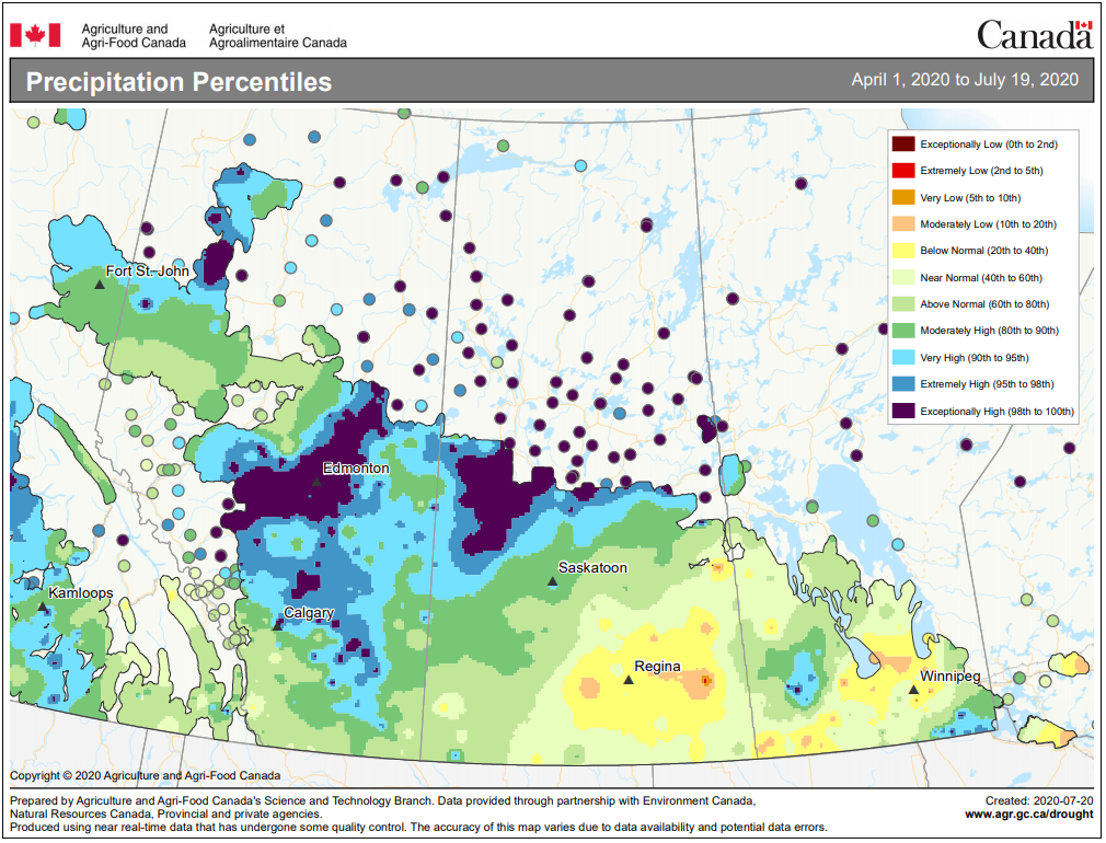
The WSA said the region has received an extremely high amount of precipitation since April 1 and more is on the way, resulting in very high flows and lake levels.
Flows and water levels are expected to exceed historical highs in the lower Churchill River, Reindeer River and Churchill River near Sandy Bay, the WSA said Monday.
River flows and water levels in other regions in the Churchill River basin have peaked or are expected to peak slightly lower than historical levels in some areas, the WSA said.
The agency said logs, debris, unstable banks and other obstacles not normally encountered are creating safety hazards for water travel.

Get daily National news
Officials said they are closely monitoring water levels and are cautioning people to avoid the water, or exercise extreme caution if travel on waterways is necessary.
Up to 20 millimetres of rain is expected mid-week in central portions of the Churchill River basin, the WSA said.
The agency cautioned high river flows and lake levels are expected for the remainder of the summer and in some cases into the fall and winter.
Here are the projected peak flows and levels as forecast by the WSA on July 20:
- Cumberland Lake: 267.79 metres on or near July 22. The WSA said this will just be under the peak water level of 268.01 metres recorded in 2011.
- Île-à-la-Crosse: 421.1 metres on or near July 25. This is at similar levels seen in 2017, but below the historical high of just over 421.5 metres in 1974.
- Lac La Ronge: 364.83 metres on or near Aug. 9. The full supply level in the lake is 364.40 metres, and the historical peak was in 2011 at just over 364.9 metres.
- Sandy Bay: The Churchill River will flow at 2,400 cubic metres per second on or near Aug. 13. This would surpass the peak flow of 2,300 cubic metres per second observed in 2005, according to the WSA.


Comments
Want to discuss? Please read our Commenting Policy first.