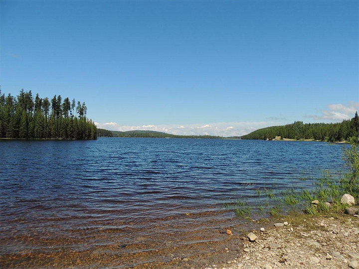
The City of Kelowna says higher water levels can be expected in a local reservoir with temperatures rising and snowmelt occurring.

On Friday, the city said residents around Idabel Lake and the McCulloch Lake reservoir, and their associated spillways, are likely to see higher water levels.
The higher water levels could be seen as early as next week, as the reservoir reaches its maximum level, with water then flowing over spillways into local area creeks and streams.
“The spillways are designed to handle the excess flows and ensure that water levels are managed within the design of the dams,” said Brad Stuart, water supply and pump stations supervisor with the city.
“Dam spilling can occur in the spring as the snowpack melts. However, these spillways haven’t been utilized in the past few years, so we just want residents in the area to be aware and not to be alarmed.”
The city said once water moves into spillways, residents will start seeing higher and faster volumes of water moving through the area. It added that people living or working near creeks and streams should exercise caution around fast-moving water.
- Ontario First Nation declares state of emergency amid skyrocketing benzene levels
- Do Canadians have an appetite for electric vehicles? Experts are divided
- Nearly 200 fossil fuel, chemical lobbyists to join plastic treaty talks in Ottawa
- More financial institutes are offering crypto-services, survey shows

Further, the city said while staff will be monitoring the area, if anyone notices a buildup of debris or culverts being backed up, especially in the Idabel Lake area, to phone 250-469-8600 or submit a service request at kelowna.ca/onlineservices, as blockages have the potential to cause localized flooding.
Further south, the Regional District of Kootenay Boundary says water flows are expected to remain seasonal, but added possible thunderstorms this weekend make forecasting unpredictable.
“Unsettled weather is forecast to bring possible thunderstorms before Tuesday, May 19, when Boundary rivers will be close to their seasonal peak,” the regional district said Friday.

It added that rivers are expected to reach between a one- and five-year return based on current rain forecasts.
That, the regional district continued, equates to an average to slightly above average freshet, but below 2017 levels that caused considerable low-elevation flooding, and well below the catastrophic 2018 levels.
The regional district is also encouraging residents to monitor low-lying areas for potential impacts from rising groundwater.
It also said the high streamflow advisory issued by B.C. River Forecast Centre on May 6 still remains in effect for the Boundary Region including the Kettle River, West Kettle River, Granby River and tributaries.
Further, free sand and sandbags are currently available at the following locations:
- Beaverdell, behind the fire hall
- Westbridge Hall
- Riverside Centre in Rock Creek
- Grand Forks Arena
Residents must bring their own tools and equipment, and physical distancing rules apply at those locations.
For more information about snow and river levels as well as how to prepare for the 2020 freshet, click here.


Comments