
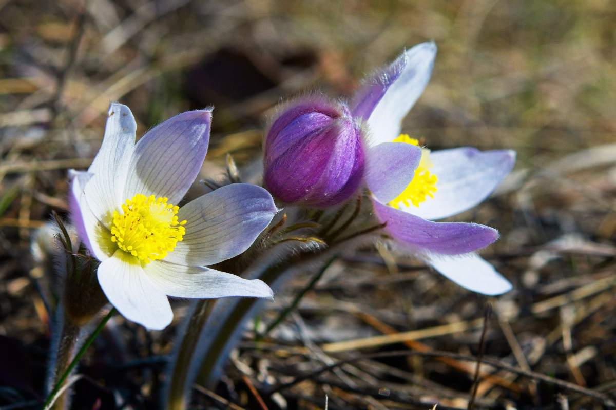
May flowers might be on hold — or at least planting them might be — as the start of the month will likely bring a few frosty mornings for Manitobans.

Last weekend was another cool weekend, and we’ll be seeing a lot more days like it this week, albeit with some varying conditions.

There will be a cloudy start to the week with a few showers on Monday around southwestern Manitoba. Showers are expected around Winnipeg and the Red River Valley towards the late evening.
Precipitation will be light and likely linger into Tuesday morning before the clouds clear as high pressure moves in from the north.

As high pressure moves in, expect sunny conditions around southern Manitoba from Wednesday and throughout the workweek, even into the weekend. Just don’t expect warmer weather. There will be a lot of days where southern Manitoba sees highs near 10 C in the afternoon and. perhaps more notably for the gardeners out there, overnight lows below 0 C.
Manitoba’s forecast will be cool but not record-setting. It will put us in a similar position as southern Ontario, where overnight lows are usually around 5 C warmer than Winnipeg this time of year.
- ‘Prolonged stretch of hot air,’ poor air quality advisories blanket the Prairies
- 2 tornadoes touched down in Rocky Mountain House, Environment Canada confirms
- Heavy Nova Scotia rain threatens flooding on anniversary of deadly 2023 flash flood
- Heat warnings blanket most of B.C., pose risk to public health


And to the West, record-setting heat is in the forecast:

Get breaking National news
Winnipeg, stuck in the middle, will see more in common with southern Ontario than the West Coast throughout the upcoming weekend.

Comments
Want to discuss? Please read our Commenting Policy first.