

Travel restrictions or not, one familiar spring guest in Manitoba has made its annual appearance.

The Red River has crested north of the 49th parallel today, bringing high water levels with it — but staying within its banks, for now.
Manitoba’s Infrastructure Minister Ron Schuler tells 680 CJOB levels south of the border have given his team encouragement.
“In Fargo, they’re within two feet of the river being within its banks. If they get a major rainstorm, that impacts us; with the Red being so low down south it means we shouldn’t be impacted by a further weather event.”
It’s quite a change in tune from the winter, when North Dakota saw one of the wettest seasons on record.
- ‘Significant risk’: How will wildfires spread over the next two months?
- As Canada eyes AI growth, could electricity demands fuel climate change?
- London Drugs issues apology, says no evidence of compromised data in cyberattack
- B.C. fruit likely to be in short supply and expensive this year: produce retailers
The R.M. of Emerson expected some minor services to be affected when the river crested this weekend.
Carlson expected several area residents to be cut off from road access when the river peaked, and be forced to boat in and out of their properties.
Early indications are pointing toward levels above 2019, but below 2006 in the Emerson/Letillier area.


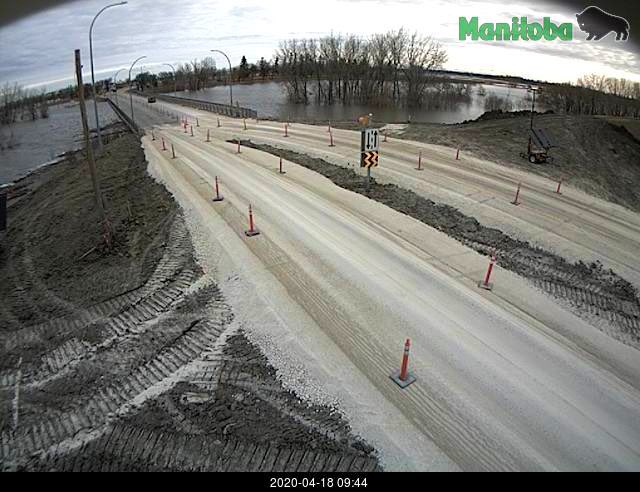
That could force a closure of Highway 75, but Schuler says it’s open for business as of Saturday.
“We’ve got a mud ramp on the north side of Morris. You can still cross — slowly — but if need be we’ll pack some more mud on and close that off.”
Manageable lake levels north of Winnipeg are also driving some optimism.
“Both Lake Winnipeg and Lake Manitoba are within their operating levels,” Schuler says. “If you remember back to 2011, it was Lake Manitoba that got away from us and created all the damage. Any of the water that’s coming through the floodway won’t impact the level of the lake.”
The province says there are concerns about ice pile-ups on the south shores of Lake Winnipeg, Lake Manitoba and Dauphin Lake — which will depend on how windy the rest of the weekend is.
A flood warning is in place from Emerson to the Red River floodway inlet south of Winnipeg – and levels north of Letillier are expected to peak just above 2019 levels.
With the floodway in operation, levels at James Avenue should peak between 19 and 19.5 feet between Tuesday, April 21 and Thursday, April 23.
Comments