
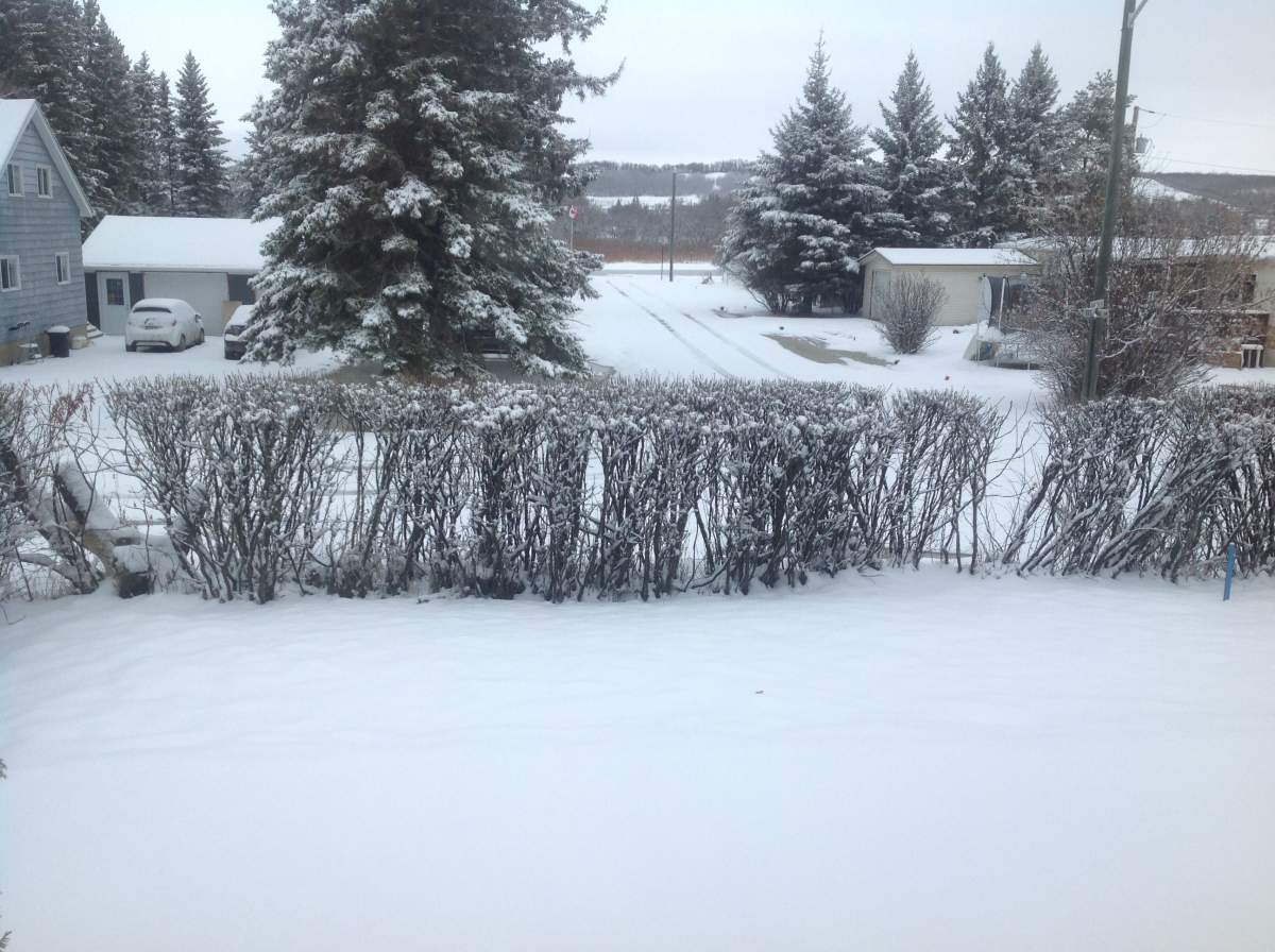
No joke, April is beginning with a significant amount of snow for much of Manitoba and around southern Manitoba — if you don’t have much precipitation on Wednesday, you will on Thursday.

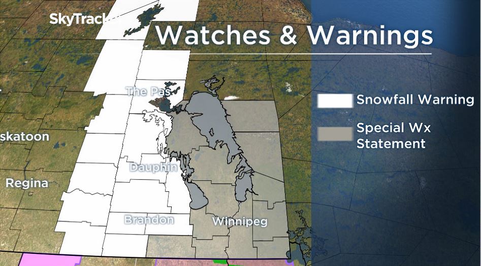
Snowfall warnings were issued by Environment and Climate Change Canada for throughout southwestern Manitoba on Tuesday in anticipation of 10-20 cm of snowfall on Thursday.
There will also likely be another 5-10 cm of snowfall Thursday night leaving many of the affected regions with snowfall totals around 15-25 cm.
Further north around The Pas and Flin Flon, snowfall warnings are also in place, however, the heavier snowfall is expected to start Wednesday afternoon and continue through Wednesday night with 10-15 cm likely falling by the morning.
Environment and Climate Change Canada also issued Special Weather Statements on Tuesday for the rest of southern and central Manitoba as there is the potential for heavy snowfall on Thursday.
Thursday’s forecast precipitation will include a mix of snow and rain and a risk of freezing rain as well.

Get breaking National news
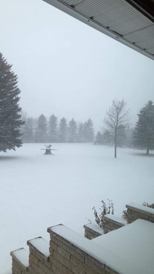
Light rain starts Wednesday in Winnipeg
Around Winnipeg, light rain will start Wednesday afternoon or evening.
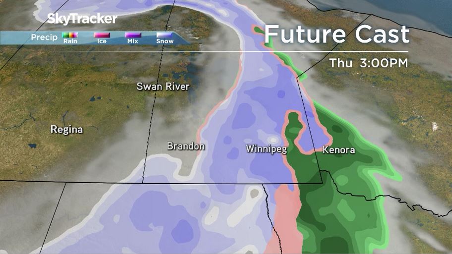
Thursday, there will be another injection of moisture around Winnipeg and the Red River Valley with weather models expecting more snow than rain on Thursday.
Winnipeg could see 10 cm of snow during the day Thursday with more snow expected Thursday night and into Friday morning.


By the time the system clears, it’s possible Winnipeg and other areas around the Red River Valley see something in the 10-20 cm range.
One tricky element with this incoming weather event on Thursday is the mix of rain and snow. Closer to the Ontario border, it is likely there is more rainfall the snowfall. There is also the chance of some freezing rain.
While it may feel like April is late for a snowfall event, Winnipeg typically sees around 11 cm of snowfall this month according to climatology statistics from Environment and Climate Change Canada.
This system will clear later on Friday and to start the weekend, Saturday will be sunny but cool around southern Manitoba.

Comments
Want to discuss? Please read our Commenting Policy first.