
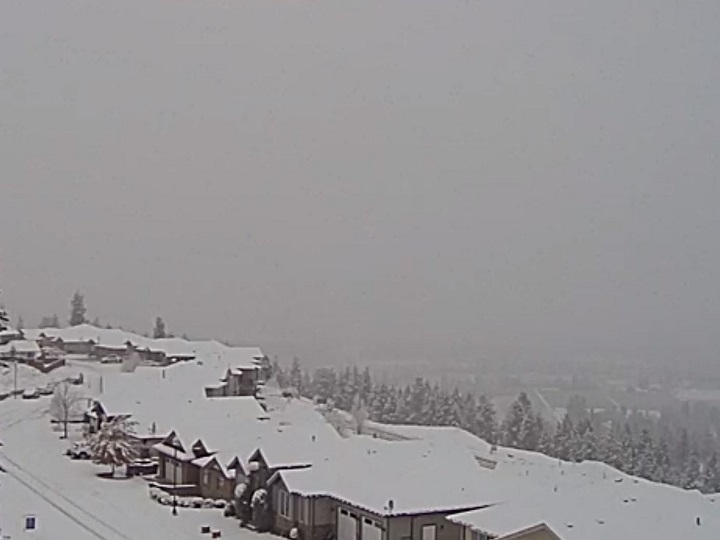
Just when it appeared winter was over, parts of B.C.’s Southern Interior woke up to snow Saturday morning.

Depending on where you lived, the light snowfall ranged from wet and slushy, like near Kelowna’s airport, to non-existent, as was the case in downtown Kelowna and most of the South Okanagan.
The snow, however, wasn’t unexpected, as Global News meteorologist Peter Quinlan predicted the possibility on Thursday.


Fortunately, Saturday’s snow isn’t expected to stick around long, with Environment Canada forecasting daytime highs to be above zero.
- Salmon Arm: High 3, Low -6, flurries during the day, 40 per cent chance of showers in the evening.
- Revelstoke: High 3, Low -3; rain during the day, 60 per cent chance of flurries or rain showers in the evening.
- Vernon: High 5, Low -4, 40 per cent chance of rain showers or flurries during the day; 40 per cent chance of showers in the evening.
- Kelowna: High 5, Low -4, 40 per cent chance of rain showers or flurries during the day; 40 per cent chance of showers in the evening.
- Penticton: High 6, Low -4, rain showers, clearing skies overnight.
- Osoyoos: High 6, Low -4; rain during the day, clearing skies overnight.
- Grand Forks: High 7, Low -1; periods of rain during the day, 40 per cent chance of showers or flurries in the evening.
- Princeton: high 1, Low -9; 60 per cent chance of flurries both day and evening.


Notably, Environment Canada has issued a snowfall warning for Highway 3, from Paulson Summit to Kootenay Pass.
The national weather agency says due to the Pacific weather system that’s surging across the region, 15 to 20 centimetres of heavy snow is expected through the evening before easing off.
To view Environment Canada’s weather forecasts, click here.

Comments