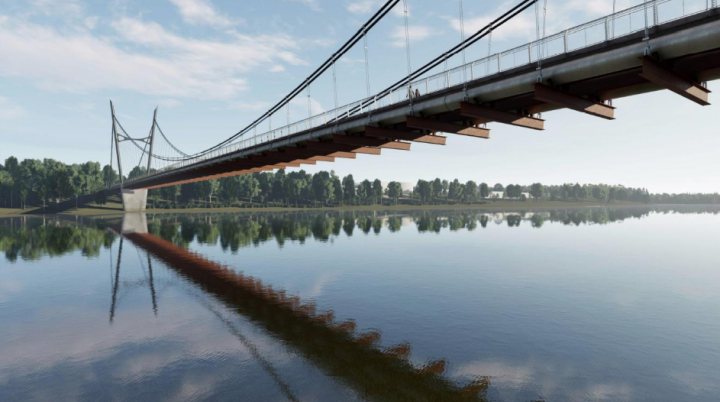
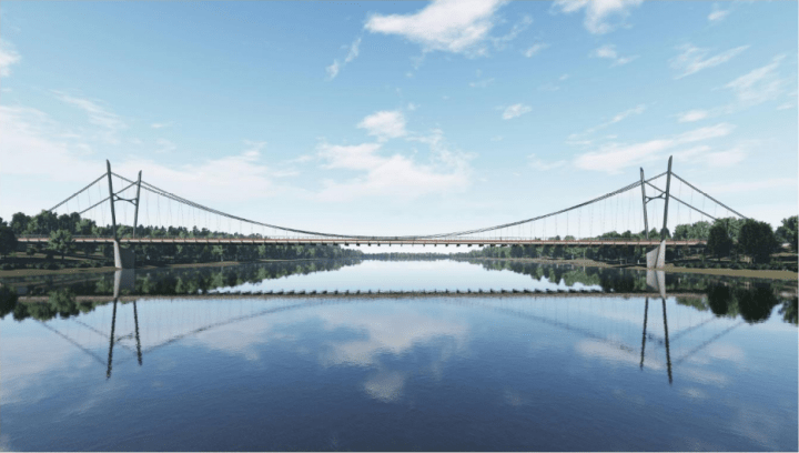
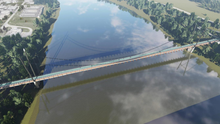
A bridge to ferry cyclists, pedestrians and a sewer pipe across the river is proposed for Saskatoon’s north end.

It is part of the City of Saskatoon’s need to connect the wastewater treatment plant to future neighbourhoods in the University Heights development area.
While the city would typically run the sewer pipe underground, a study found there was an opportunity to build a combined pipe and active transportation crossing at significant savings.
Council documents show the combination crossing carries a price tag of $25.1 million, as opposed to $20 million for the bridge alone and $16 million for the sewer pipe crossing.
The bridge would not be built to accommodate motor vehicles.
The combined project would save $10.9 million, according to the report. Building it in stages – sewer pipe first and bridge later – would add around $2.5 million to the overall cost for various reasons.

Get breaking National news
While no specific location is identified, concept drawings show it located just south of the wastewater treatment plant.
The active transportation plan adopted by council in 2016, identified three potential active transportation river crossings – one being between the Circle Drive North Bridge and the Chief Mistawasis Bridge near Lenore Drive.
Documents say the bridge would improve access from Evergreen, Aspen Ridge and future University Heights neighbourhoods to employment areas in the north end of the city.
“Neither of the existing bridges to the north and south of this location provide direct connections,” the report says. “An active transportation bridge would provide a more direct route which is an important trip consideration for people walking and cycling.”
A travel time comparison found cyclists going 17 km/h from Funk Park in the Evergreen neighbourhood and the intersection of 56th Street and Millar Avenue would save 10 minutes using the new bridge over existing ones.
The report says it would take someone walking at five km/h just one hour and 28 minutes to traverse the same distance with the new bridge, compared to over two hours via existing crossings.
A prioritized list of transportation projects for the next 10 years is being finalized by administration, the documents said. It is expected to be provided to lawmakers in the coming months.
The combined utility/active transportation bridge will be included in the list of projects.


Comments
Want to discuss? Please read our Commenting Policy first.