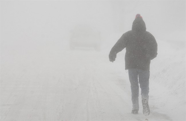
After a mild holiday season, the snow is coming back to London and area.

Environment Canada issued a snow squall watch for London-Middlesex, Oxford-Brant and other parts of southwestern Ontario at 3:12 p.m. Tuesday.
The agency says a frontal snow squall is set to cross the region later Tuesday evening, followed by lake effect snow bands in a few areas on Wednesday morning.
“A cold front moving over the regions from Lake Huron will give low visibilities and a quick accumulation of snow,” stated Environment Canada in a report.
“Some of the snow squalls may give snowfall accumulations in excess of 15 centimetres by Wednesday morning, especially northeast of London.”
Meteorologists believe isolated snow squalls may continue into Wednesday afternoon.
Environment Canada warns that travel may become hazardous Tuesday night into Wednesday.
Snow squalls can cause rapidly-changing weather conditions, the agency says, from clear skies to heavy snow within just a few kilometres.
Highways, roads, walkways and parking lots may become difficult to navigate due to accumulating snow.


Comments