

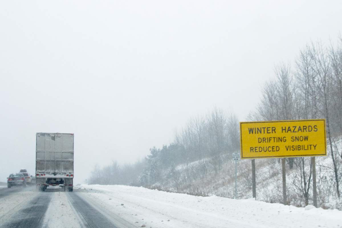
Environment Canada is advising Londoners to be cautious on their commutes as a developing low pressure system looks to bring significant snowfall to the city on Monday and snow squalls are expected to add to the accumulation on Tuesday.

The first round of snow began Monday morning and is expected to become heavy at times during the afternoon before tapering off in the evening.
This forecast has prompted a winter weather travel advisory from Environment Canada for London, Komoka, Parkhill and Strathroy, along with eastern and western Middlesex County.
READ MORE: London wakes up to winter wonderland
“It’s going to be a very persistent snow throughout the day,” said Environment Canada meteorologist Peter Kimbell.

Get breaking National news
“With a few centimetres down by the afternoon, it will be a difficult drive.”
The snowfall is originating from a developing low pressure system that Environment Canada said is tracking south of the lower Great Lakes.
The national weather agency said snowfall accumulations of 10 to 15 cm may be possible by late Monday night.


On Tuesday, snow squalls are expected to develop in areas off of Lake Huron including London and Middlesex County. Environment Canada says snowfall amounts of 10 to 15 cm per 12 hours are possible and sudden changes in the weather could make travel hazardous.

Comments
Want to discuss? Please read our Commenting Policy first.