
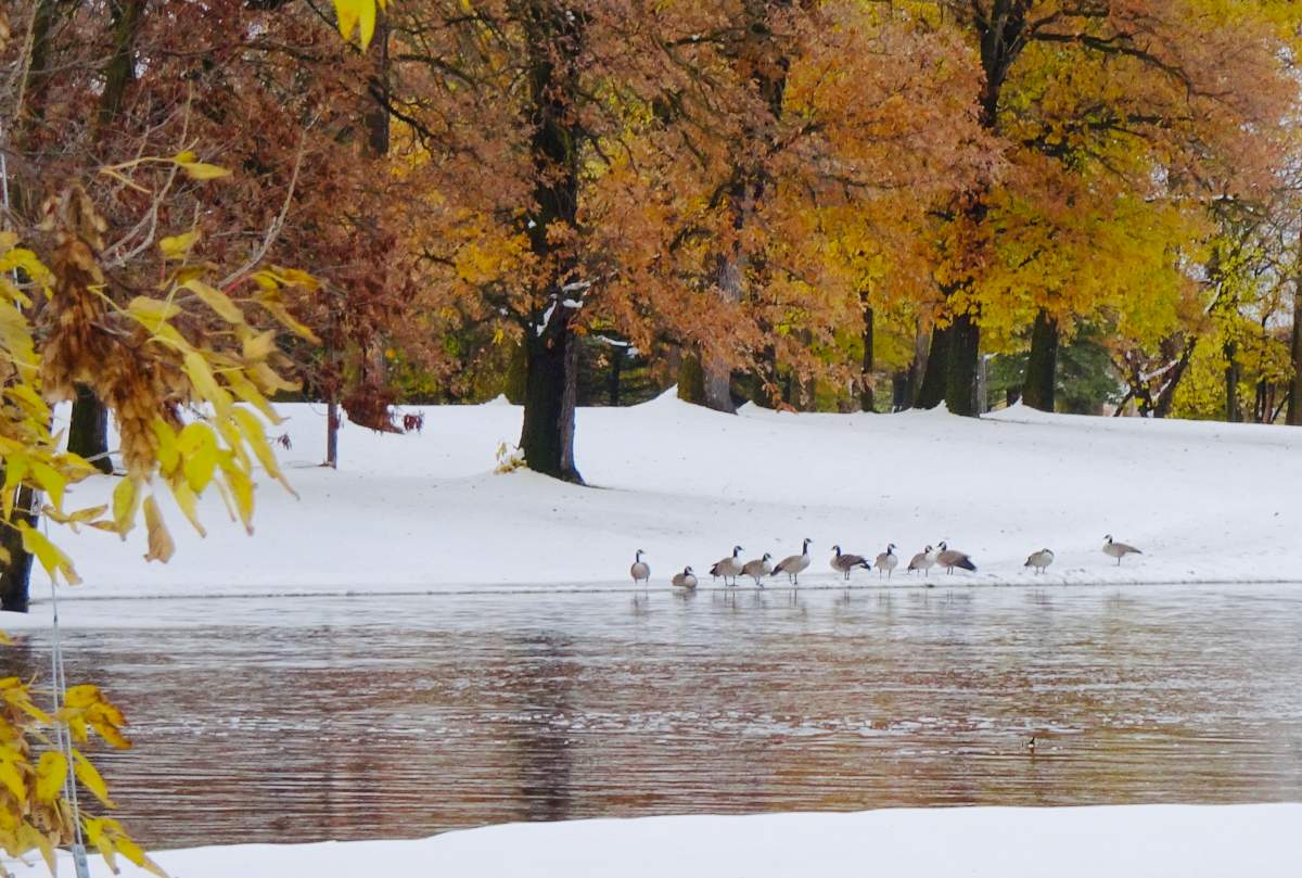
Hopefully you’ve pulled out your winter coat, ’cause you’re going to need it.

Temperatures this week started off below normal and they’re going to stay that way for longer than you might think.
November isn’t the coldest month, obviously, but it’s getting ahead of itself as far as where the temperatures are going to land in its first full week.
As of Nov. 4, a typical daytime high in Winnipeg is 2 C. Yes, this will continue to slide through the rest of the month, but we won’t be seeing a temperature like that for quite a while.
Here is the five-day forecast for Winnipeg this week.
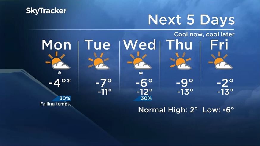
Normally the above graphic is saved for the end of the article, but this is just the beginning of the cold stretch.
Temperatures will start to fall sooner than normal on Monday, helped by some northwest winds. From here, it stays cool. There could be periods of light snow during the week, but nothing significant. Lake effect snow is certainly possible as well, but again, nothing major.

Get daily National news
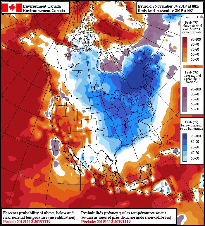
The most significant weather is clearly going to be the cooler weather. It won’t be felt by just Winnipeg or just southern Manitoba, it’ll be a prairie thing and a “pretty much everything East of the Rockies” thing.
Take a look at the long-range outlook from Environment and Climate Change Canada.
- How the Northern Tornadoes Project helps verify twisters as Alberta on track for record year
- Inquiry hears avalanche danger moderate on day of 2021 fatal Banff snow slide
- Air quality warning in Edmonton, much of Alberta due to N.W.T. wildfire smoke
- How do wildfires create lightning, pyro tornadoes and thunderstorms?


There’s pretty good agreement that this is how the next couple weeks will shake down (or should I say shiver). It’s cold now, it’ll be cold later.
Comments
Want to discuss? Please read our Commenting Policy first.