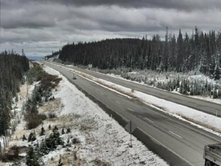
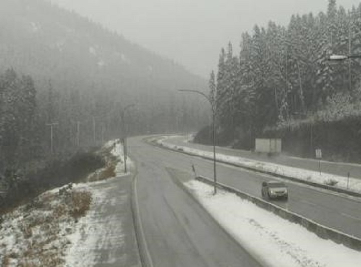
If you plan on driving to or from B.C.’s Southern Interior this weekend, plan for snow in the mountain passes.

Environment Canada’s weekend forecast for the Okanagan, Similkameen, Shuswap, Boundary and Thompson regions includes daily highs of 10 to 15 C on Friday and Saturday, but also overnight lows of 2 to -2 C.
Further, the national weather service is calling for increasing cloudiness on Friday, with a 70 per cent chance of showers in the afternoon and evening, and showers beginning overnight.
Overnight, the snow level is expected to lower to 1,100 metres to 1,400 metres, along with winds gusting between 20 km/h and 50 km/h, which could affect driving visibility.
Bottom line: Environment Canada is calling for 2 to 5 centimetres of snow on various mountain passes, though Paulson Summit along Highway 3 is projected to receive 10 cm of snow overnight and another 5 cm on Saturday.

Get breaking National news
Paulson Summit, which was clear of snow on Friday, has an elevation of 1,446 metres.
The Pennask Summit on the Okanagan Connector has an elevation of 1,717 metres, and, on Friday, light snow could be seen along the sides and centre of the highway.
The Coquihalla Summit has an elevation of 1,230 metres and was clear of snow on Friday afternoon. However, just before the summit, the Zopkios rest area (elevation: 1,210 metres) had snow.

For Saturday, Environment Canada is calling for a mix of sun and clouds, with a 60 per cent chance of showers in the morning. The projected highs range between 7 and 11, with overnight lows falling to 1 or 2 C.
The overnight snow level is expected to fall to around 1,100 metres.
Sunday’s forecast is calling for periods of rain, with highs of ranging between 5 and 9 C, and lows of 1 to 3 C.


Comments
Want to discuss? Please read our Commenting Policy first.