




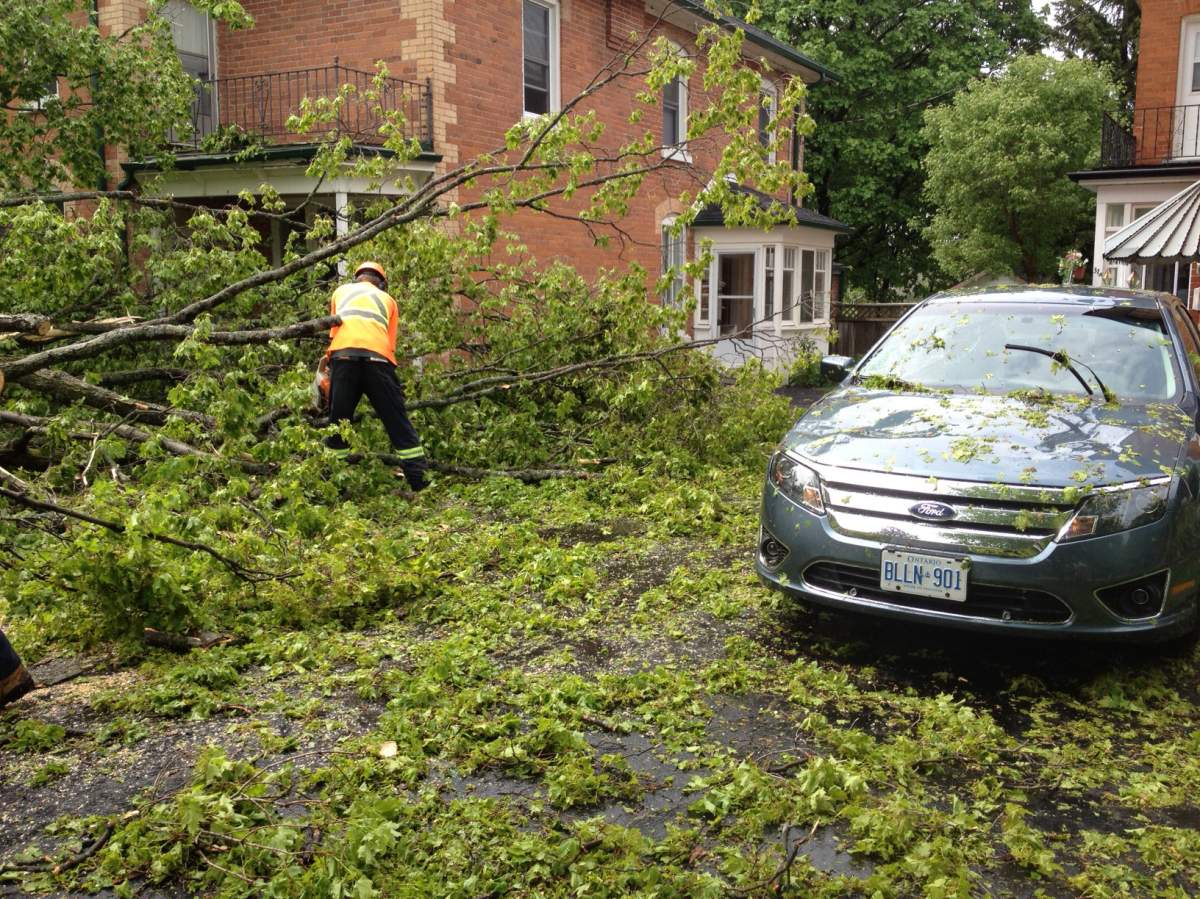


It’s been stormy the past couple of days over southwestern and southern Ontario and it’s not over yet.

Monday evening, storms rolled into the area producing high winds and frequent lightning. There were more storms Tuesday afternoon with heavy downpours in some regions northwest of Toronto. By late afternoon, the storms had moved to the east, through Peterborough. A second storm went through the area during the rush-hour dropping heavy rain and pea-sized hail.

Get daily National news
Severe thunderstorm warnings and watches were issued through much of the day on Tuesday.
Wednesday the region is expected to see another day of thunderstorms.
Environment Canada issues watches when conditions are favourable for severe weather. A warning is when severe weather is imminent.
For warnings in your area, visit: http://weather.gc.ca/warnings/swsIndex_e.html




Comments
Want to discuss? Please read our Commenting Policy first.