
After a hot Father’s Day weekend with daytime highs topping out in the low 30s, sunshine rolled back into the Okanagan to start the final week of spring.

Temperatures dipped back to 15 degrees to start the day before bounding up into the mid-20s before noon in the Central Okanagan.
30 degree heat returns Monday afternoon with clouds bubbling back up with a slight chance of showers and risk of a thunderstorm along the ridgetops in particular.
Skies clear back out Monday night as temperatures fall back into low double digits before rebounding back into the high 20s on Tuesday under a mix of sun and cloud.
An upper low and trough swing through on Wednesday, bringing in a good chance of rain and the risk of a thunderstorm during the day as the mercury makes its way up toward the 20s in the afternoon.


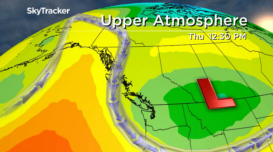
Clouds and cooler temperatures linger on Thursday behind the system before mid-20 degree readings return on Friday with a bit more sunshine as summer kicks off at 8:54am PDT.
The first weekend of summer will be unsettled under partly-to-mostly cloudy skies with a chance of a spotty shower at times as daytime highs hold steady in the mid-20s.

For weather on the go download the Global News SkyTracker Weather App for iPhone, iPad or Android.
- A ‘zombie’ virus is raging among raccoons. What to know
- Renters so far more ‘vulnerable’ than homeowners amid higher interest rates. Why?
- Toronto Maple Leafs fire head coach Sheldon Keefe after latest playoff disappointment
- Could notwithstanding clause be used on abortion? Poilievre’s office says ‘never’
Comments