
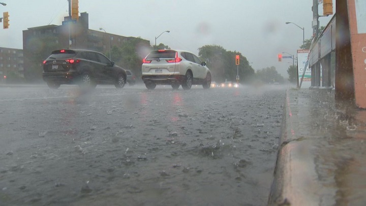
Environment Canada has placed the Ottawa area under a severe thunderstorm watch for Thursday afternoon and early evening and is warning residents of 100 km/h wind gusts that could be accompanied by large hail or possibly an “isolated tornado.”

“Thunderstorms are expected to develop over Eastern Ontario this afternoon ahead of an approaching cold front,” the federal agency wrote in a weather alert.
“As of early afternoon, there is extensive cloud cover across the region which may limit the intensity of the thunderstorms. However, if clearing occurs, the severe weather threat may increase.”


Environment Canada says the severe thunderstorm threat will end Thursday evening.
The weather agency urges residents to “take cover immediately if threatening weather approaches.”
The Ottawa area is forecasted to reach a high of 22 C on Thursday afternoon, with the humidex making it feel more like 27 C.
Showers “with a few thunderstorms” are projected to give way to a partly cloudy sky on Thursday evening. Winds are expected to drop to 30 km/h with a low of 13 C.
- ‘Shock and disbelief’ after Manitoba school trustee’s Indigenous comments
- ‘Super lice’ are becoming more resistant to chemical shampoos. What to use instead
- Is home ownership only for the rich now? 80% say yes in new poll
- Invasive strep: ‘Don’t wait’ to seek care, N.S. woman warns on long road to recovery
Comments