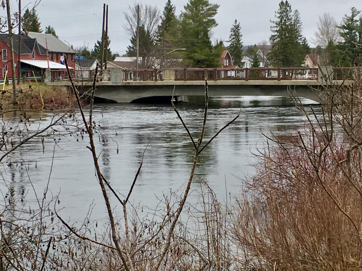
For the third time in six years, rising water levels along Gull River have prompted the Township of Minden Hills to declare a state of emergency.

The river flows through the heart of the village of Minden, about 100 kilometres north of Peterborough. Around 3 p.m. Wednesday, township officials declared a state of emergency, a day after the Ministry of Natural Resources and Forestry issued a flood warning for the region.
Following an emergency meeting, township mayor Brent Devolin said the Gull River is up 35 centimetres and is expected to increase another 15 centimetres by Friday due to rainfall and melting snow further north. He says the Gull River is expected to approach levels reached in 2017.
Devolin didn’t anticipate any mandatory evacuations.
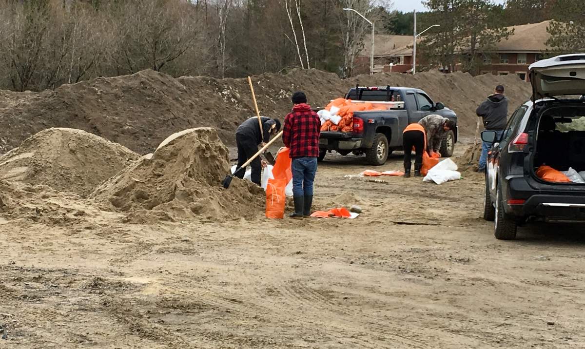
Many Minden residents on Wednesday visited the S.G. Nesbitt Memorial Arena to fill sandbags to protect their properties.
John Shearer and Avery Salem say their properties are currently “high and dry” but felt obligated to help others fill sandbags.
“You do what can to help out,” said Shearer. “Everybody helps everyone here.”
WATCH: Minden Hills, Ont. residents fill sandbags in effort to hold back flood waters

Salem said he saw a posting on Facebook requesting help.

Get daily National news
“I have a truck and my wife has a truck so we said ‘let’s go down’ and we’re putting some sand in some bags,” he said.
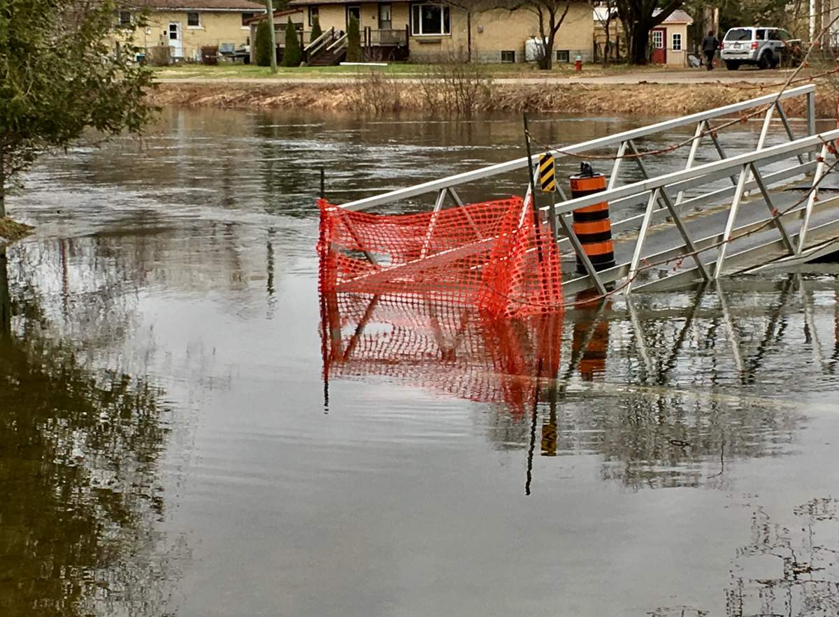
The rising river has already forced the closure of a number of roads and pedestrian bridges.
Among the road closures include:
- Orde Street (open to local traffic only; barricade at Deep Bay Road)
- Invergordon Street (open to local traffic only; barricade at Bobcaygeon Road)
- St. Germaine Street (barricade at Prince and Water streets intersection)
- McKnight Drive (barricade at Bobcaygeon Road)
- Anson Street (open to local traffic only; barricade at the west end of Peck Street)
- Hospitality Road (open to local traffic only; barricades 1.8 km east of Rice Road and at Hartle Lane)
- Spring Valley Road (barricades at #1268 Spring Valley Road)
- Ritchie Falls Road (open to local traffic only; barricades at the Rail Trail)
- Mark Twain Road (barricades at County Road 503)
- Salerno Lake Road Bridge (barricades at Hancock Road and at the public boat launch)
- Snowmobile Bridge downtown Minden (closed to all traffic, including pedestrians)
- Milburn Road (closed from 2.0 km east of Country Road 1 to 0.5 km west of the Irondale waste disposal site (1.7 km west of County Road 503; local traffic may continue to access their dwellings)
More details on the state of emergency can be found on the township’s website.
Meanwhile, the flood warning south in Kawartha Lakes was reduced to a water safety bulletin on Wednesday.
Kawaratha Conservation says while water levels in Balsam and Pigeon lakes increased by 12 cm since Tuesday and Sturgeon Lake by 4cm, levels in Cameron and Scugog lakes remain stable.
“Rivers and streams within the Kawartha Conservation watershed jurisdiction are slowly returning to their normal levels,” stated hydrologist Iryna Shulyarenko. “Some rain is forecast for the end of this week that is not anticipated to reverse the downward trending of water levels in local watercourses.”


_848x480_1507346499983.jpg?w=1040&quality=70&strip=all)


Comments