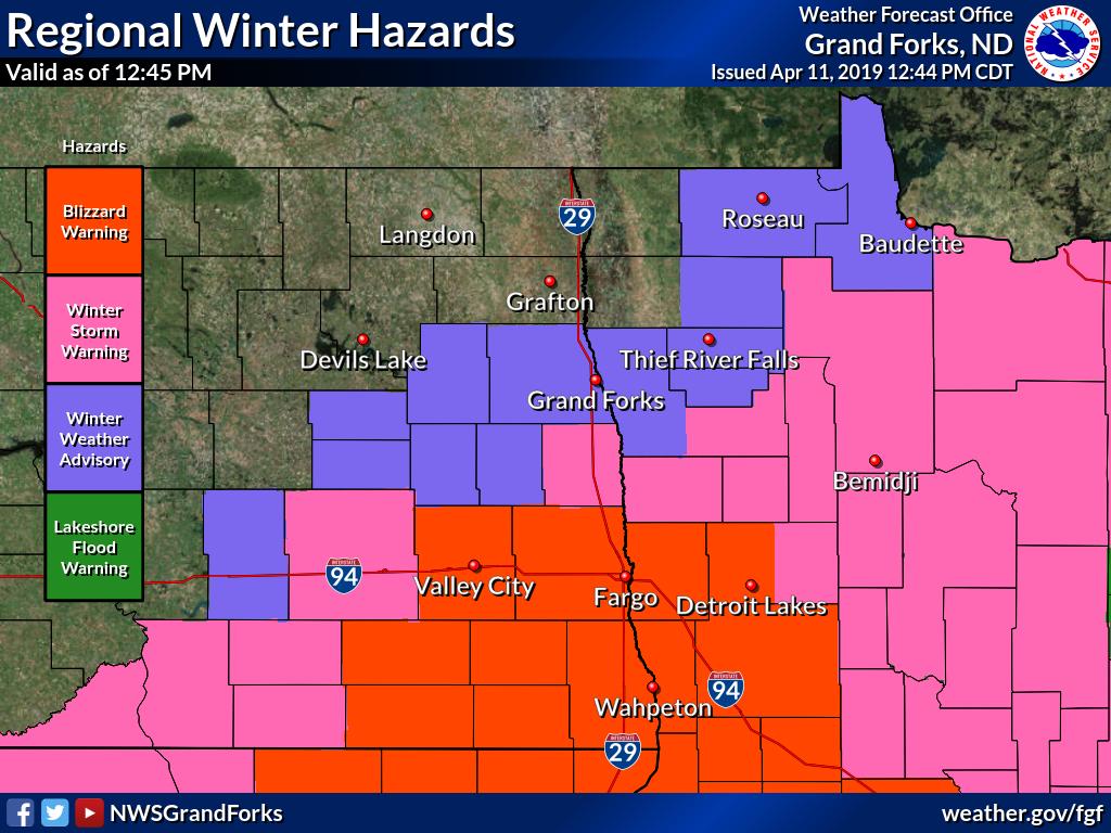
A snow storm has blanketed the Red River Valley, and while the river has crested in Fargo, N.D., the peak has yet to arrive in Grand Forks.
So far, the flood protection walls, put in place after the 1997 flood to protect the community along the river, are doing their job.
Even so, the water flow is strong, fast and rising steadily.
People in Grand Forks keeping watch on the Red River say they are surprised to see it swallowing up more and more of the bank. At a downtown park, the water is rushing over walking trails. Park benches peek out above the current.

Get breaking National news
City officials say if the water reaches projected levels, this will be the sixth worst flood in the area since they started keeping records.
The flood walls keep the community safe up to 60ft — projections are calling for river levels to crest at around 48ft, on Friday or Saturday.
So far in Grand Forks no homes have needed sandbagging, but two of the three bridges in town have been closed as the Red River continues to rise.
Flood watchers are well aware that snowfall warnings are currently in place for Minnesota and the Dakotas.
Winnipeg Weather Specialist Mike Koncan says more than 20cm of snow are expected to hit Fargo, N.D., with blizzard conditions through much of South Dakota, into Minnesota and along the southern most parts of Manitoba.
Most of the snow the area will see will fall Thursday, continuing overnight and Friday, but by then the snow will be much lighter. Winds, however, will stay strong, so blowing snow will be a concern.
Officials in Grand Forks have said they aren’t concerned about the storm, since flood projections have already taken it into account. The fact that it is a snow storm and not a rain storm is also a good thing.


Comments