
Above seasonal and even spring-like temperatures are in the forecast for St. Patrick’s Day weekend, but not everyone will bask in the heat.

A strong upper ridge will develop this weekend over Western Canada, pulling in warm air.
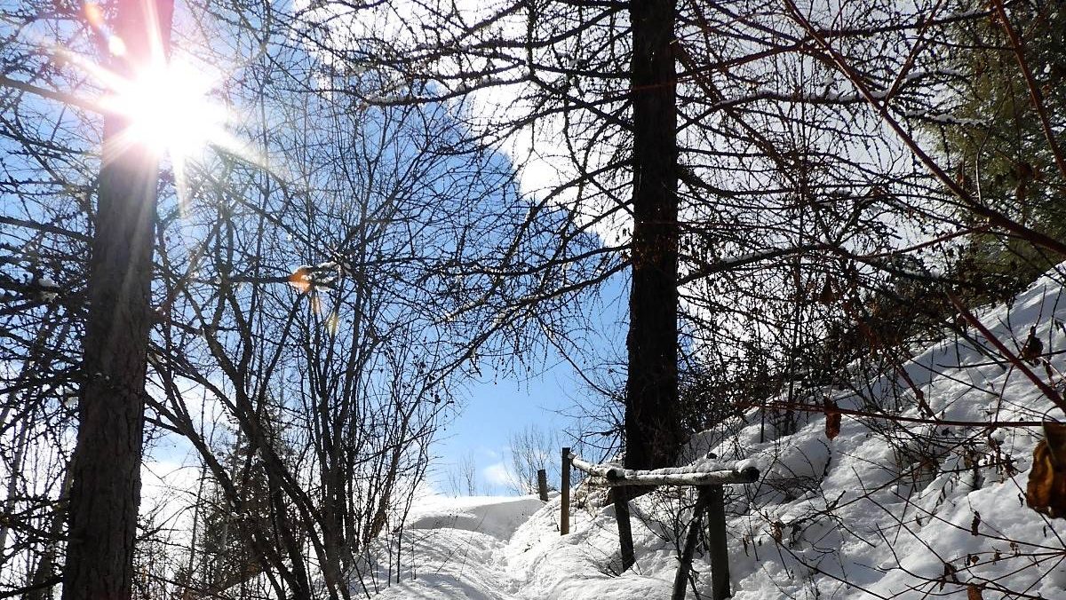
However, snow that is still on the ground in parts of Alberta could prevent the air from warming up.
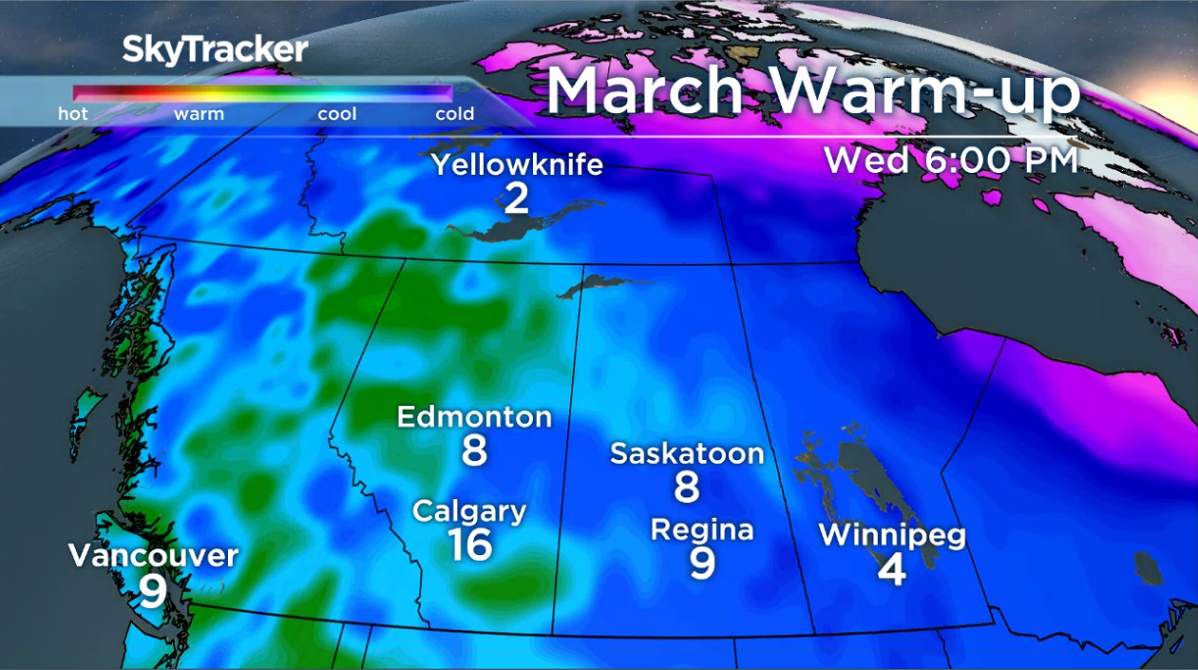
Parts of B.C., southern Alberta and southern Saskatchewan could see the mercury rise into the teens — or warmer — on Wednesday.
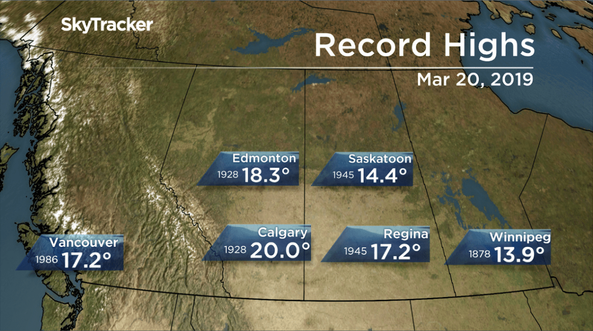
But temperatures will likely stay clear of daytime high records.
The warm weather is just in time for the spring equinox on March 20 and will be a relief after the province endured one of the coldest Februarys on record.
The bad news is for areas with significant snowpack, which reflects a large amount of sunlight back into the atmosphere and even while the snow melts, it’ll cool the air in the process.

Get breaking National news
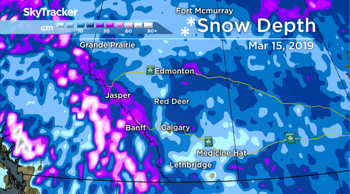
There are still areas with a snow depth of 50 centimetres in central Alberta, and parts of Edmonton are measuring around 40 cm of snow on the ground within the city.


Regions with little to no snow on the ground have a better chance of seeing double-digit temperatures.
Some good news: much of Alberta can expect above seasonal daytime highs for the rest of the month and into April, which will help with the melt.

To stay updated with radar and weather alerts in your area, download the Global News Skytracker weather app for iPhone, iPad or Android.
- 2nd-degree Banff murder conviction ‘won’t bring my boy back’: Mother
- Calgary’s mayor asks province to salvage parts of halted Green Line transit project
- Moraine Road RV residents get temporary extension while city seeks long-term solution
- Edmonton man speaks out as 2 officers charged with assault: ‘I didn’t resist. I didn’t fight’


Comments