
March is when Winnipeg and southern Manitoba have seen some of the biggest snowstorms in their recorded history and while Manitoba will generally “miss” one big storm this weekend, that may not happen when another develops next week.

This weekend a Colorado Low will move towards the Great Lakes and south of the border, as close as Fargo, ND, and 20-30 cm of snow is possible.
In southern Manitoba, the impact of this storm will be felt mostly around the southeastern corner of the province. Environment and Climate Change Canada is forecasting up to 15 cm of snow for this area, with general amounts for southern Manitoba between 3-8 cm.

Get daily National news
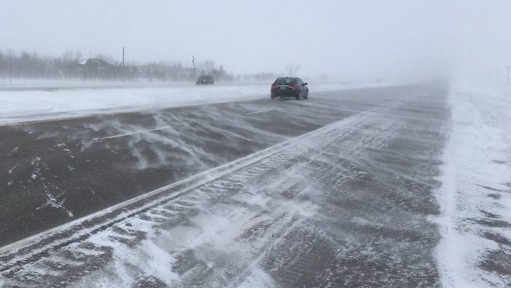
Most of the snow from this system will fall on Saturday, beginning in the morning. By Sunday, the storm will be over the Great Lakes, but in behind it will be stronger winds. After Saturday’s snowfall, blowing snow is a potential difficulty for travelers to navigate with sustained winds estimated to be near 30 km/h and gusts near 50 km/h.


Winnipeg’s expected snow amounts vary with 5 cm forecasted from Environment and Climate Change Canada. It aligns closely to the GEM model forecast and appears to be at the high end of the potential snow accumulation. The GFS and NAM models predicting closer to 1 cm.
This storm will only be round one for the area, as another Colorado Low will develop and has the potential to bring much higher snow totals to a broader area in the eastern prairies.


While the storm is still almost a week away, starting Tuesday afternoon and continuing into Thursday, this second Colorado Low has the potential to bring upwards of 20 cm to the Red River Valley area with lower totals further to the West.

It is important to note that this storm is further away as of Friday, there is still uncertainty of the exact track and potential impact of this system.
The image above is taken from the GFS model that has already moved the projected track of this storm further East towards northwestern Ontario.
We will have an update on this second storm on Monday, Mar. 11, 2019.
Comments