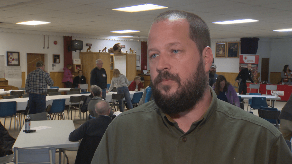
Residents of Jemseg, N.B. gathered Saturday to discuss ways to prepare for future flooding events.

“We want other people, other areas of the province, to know that communities can take the lead,” said Marilyn Merritt-Gray, co-chair of Voices for Sustainable Environments and Communities.
The group wanted to bring residents and experts together to talk about the future in light of 2018’s historic spring flood.
“Certainly, the Saint John River is a very complex system,” said Simon Mitchell, who is the lead specialist for fresh water for World Wildlife Fund Canada. “The increasing intensity and frequency of these events is having significant impact on people and wildlife.”
Voices for Sustainable Environments and Communities, a non-profit group established in 2014, held a day-long workshop at the Jemseg Lions Club.
Robert Capozi of the province’s Department of Environment says that by the year 2100, people will see an increase in temperature of about five degrees as well as an increase in precipitation and storm events.

Get daily National news
That’s a cause for concern for the Saint John River.
“That water, that snow and ice was moved down river, and it’s compounded by a number of factors, not least of which is the fact that we have reversing falls,” explained Mitchell. “The river has to narrow to a spot that’s about 128 metres wide.”
Red Cross members were also present for the workshop; they assisted over 2,500 people last spring.
- Minister ‘disappointed’ in OpenAI, but why is AI regulation taking years?
- OpenAI’s handling of Tumbler Ridge shooter info opens regulation questions
- OpenAI reps summoned to Ottawa to discuss concerns following Tumbler Ridge shooting
- Blizzard slams into northeastern U.S., with intense snow and travel bans
The organization is reminding people to always have a 72-hour emergency prep kit ready.
Residents were divided up based on their communities to look at regional maps, marking down 2018 flood levels as well as key infrastructure and identifying areas that they expect to be impacted in the future.
Resident David Warman says his Grand Lake cottage was among three out of 21 in the area that did not flood inside.
Still, the “major” property damage outside the cottage damage is costing him over $40,000, Warman explained.
He says they’re still working on repairs.
The province is designing flood hazard maps in an effort to help people to be prepared.
While coastal region mapping is expected to be completed mid-year, detailed inland flood maps are expected by the middle of 2020.
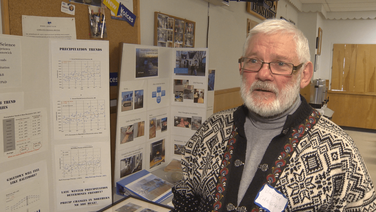
“The water rose about two feet higher than any of the other historic floods in the area,” Bruce Langhus, the owner of Lang House B&B in Gagetown, said.
He estimates that repair work cost him about $50,000.
“We rebuilt the house with the idea of more floods coming,” he said.


Comments
Want to discuss? Please read our Commenting Policy first.