
Environment Canada is calling for some nasty weather this coming Sunday for most of eastern Ontario.

For the Kingston and Belleville regions, a sharp cold front is expected to result in damaging winds Sunday afternoon. The winds are expected to reach between 90 km/h to 110 km/h at their peak.
The weather agency says municipalities neighbouring the Great Lakes are more likely to experience winds at the higher end of this range.
Strong winds are expected to last through Sunday evening and gradually weaken on Monday morning.
Environment Canada says winds this high have the potential to damage roof shingles and windows, and may cause power outages.
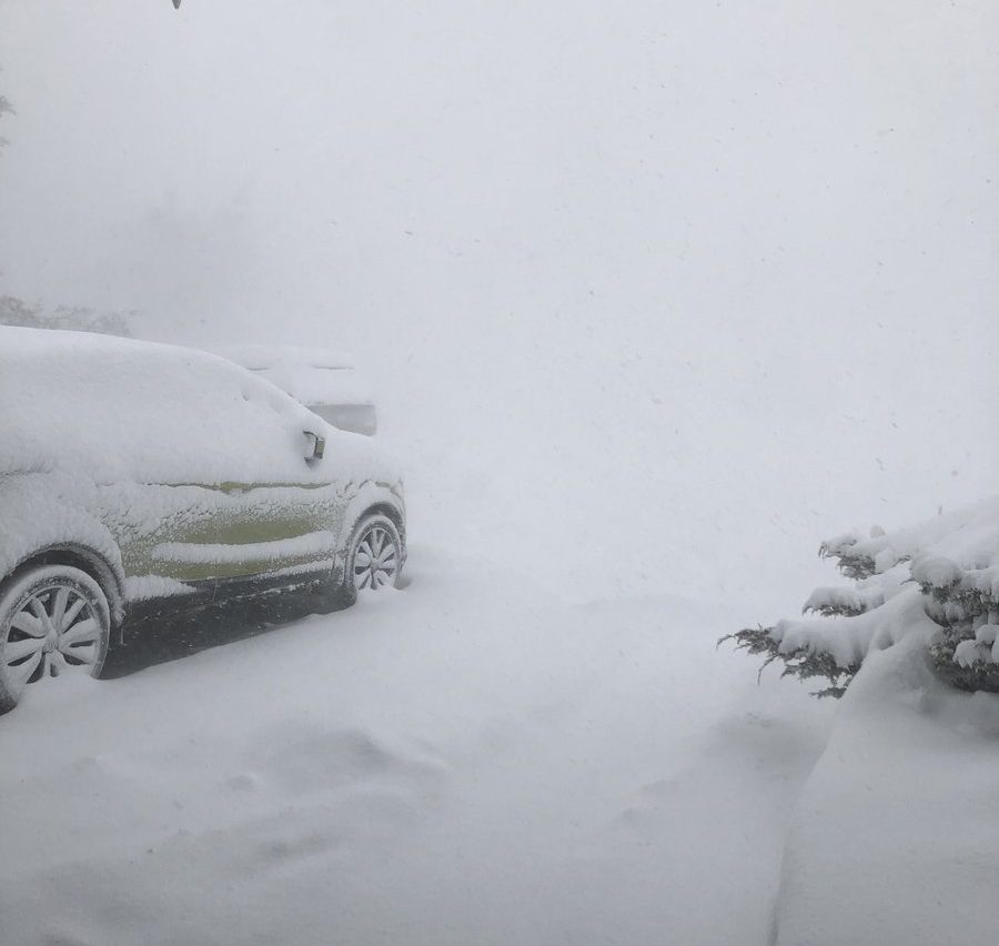
On top of the wind, as part of the same special weather statement for the Kingston and Belleville regions, Environment Canada is calling for snow starting Sunday afternoon. With the extreme wind, blowing snow could reduce visibility on roads and cause hazardous driving conditions.
Environment Canada is calling for somewhere between 2 to 5 cm of snow by Monday morning.
WATCH: Wild winter weather brings snow, wind and freezing rain to Southern Ontario
- ‘Shock and disbelief’ after Manitoba school trustee’s Indigenous comments
- Canadian man dies during Texas Ironman event. His widow wants answers as to why
- Several baby products have been recalled by Health Canada. Here’s the list
- ‘Sciatica was gone’: hospital performs robot-assisted spinal surgery in Canadian first

The municipalities most affected by this forecast will be:
- Kingston
- Napanee
- Consecon
- Picton
- Sandbanks Park
- Belleville
- Quinte West
- Eastern Northumberland County
- Cobourg
- Colborne
- Western Northumberland County
Possible freezing rain in the Brockville region
If you find yourself in the Brockville region over the weekend, high winds may be the least of your worries. Although Environment Canada is calling for winds as high as 70 km/h starting Sunday afternoon, freezing rain is expected to begin Saturday evening and continue on until Sunday morning. The weather agency says the freezing rain may change to ice pellets Sunday afternoon before it turns into rain.


By the time the winds pick up in the Brockville region on Sunday afternoon, the rain is expected to turn back into snow. By Monday morning, the weather agency says the total snow and ice pellet accumulation could reach up to 10 cm in the Brockville area.
The mixture of ice, rain, and whipping snow may cause hazardous driving conditions.
Despite the special weather statement issued for the Brockville region, the weather authority says there is “some uncertainty” in the tracking of the weather system that may affect the area over Saturday, Sunday and Monday.
WATCH: Kingston on pace for highest number of school bus cancellations over past six years

The municipalities that could be affected most by this forecast are:
- Brockville
- Prescott
- Gananoque
- Mallorytown
- Merrickville
- Wolford
- Kemptville
- Westport
- Charleston Lake
Comments