

Flowers are blooming in Vancouver, Winnipeg is getting hit with a deep freeze and southern Ontario is blanketed in a layer of snow.

It’s quite the weather contrast across the country Tuesday, as Canadians either dig out their shovels, wool socks or garden tools.
And the wild weather may not be over. According to Global News meteorologist Anthony Farnell, the weather pattern “will become less extreme to start in February,” but there could be “another round of wild winter weather in the weeks ahead.”
Here are some photos that capture the diverse Canadian weather.
British Columbia
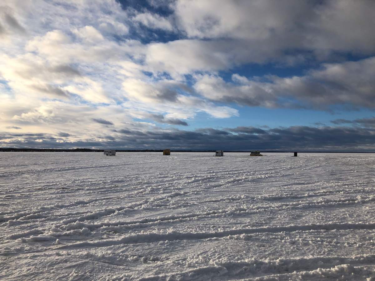
Spring seems to have started early in Vancouver and Vancouver Island, as blooming flowers started sprouting from the ground over the weekend.
“The place to be this January has been on the west coast where flowers are starting to bloom and temperatures are running almost two degrees above normal,” Farnell said.
It’s mainly sunny in Vancouver Tuesday, with a high of 7 C.
https://www.instagram.com/p/Bs-1JHYntD6/
Alberta
Like many parts of Canada, Edmonton is feeling the deep freeze. The temperature dipped to -15 C Tuesday, which feels like -22 C with the wind chill. However, Calgary is a bit warmer and is expected to reach a high of -2 C Tuesday.
WATCH: Edmonton weather forecast Tuesday

The Prairies
Many parts of the prairies are feeling bone-chilling cold, thanks to an Arctic high pressure.
If you live in Regina, you could get frostbite within minutes of skin exposure, according to Environment Canada. On Tuesday morning, the temperature felt like -42 C with the wind chill. The high is only going to -25 C.
And in Winnipeg, it’s even worse.

Get breaking National news
“We are dealing with a very amplified pattern across North America with a big ridge forcing the jet stream up over Alaska and then south almost to the Gulf of Mexico and then right back north up the east coast to Greenland,” Farnell said.
“This amplification is allowing some of the coldest air on the planet to displace south from the north pole towards Manitoba and the Great Lakes. The wind chill this morning in Winnipeg is below -50 C for the first time in five years,” he said Tuesday.
WATCH: When temperatures drop, these things just stop

The city is under an extreme cold warning as the high on Tuesday is expected to reach-30 C, and with the wind chill it feels like -48 C. The temperature is dipping below -50 C with the wind chill overnight.
Ontario/Quebec
The frigid cold does not end in the Prairies. The frosty weather is moving east as Toronto is itself digging out of a major snowfall.
“Toronto has seen over 40 cm of snow in the last 72 hours thanks to two surprisingly strong Alberta clippers and now here comes the extreme cold lasting through the rest of the week,” Farnell said.


WATCH: Massive snowstorm causes commuter chaos in Toronto

The heavy snowfall that started Monday caused major delays for commuters taking buses, streetcars and subways. Ontario Provincial Police said there were around 300 crashes on highways in the Greater Toronto Area in a span of 24 hours.
There’s also an extreme cold warning issued for Toronto as the temperature falls to -18 C with the wind chill.
Ottawa is also feeling the cold, as the temperature feels like -24 C with the wind chill Tuesday.

Montreal is going to get some snow Tuesday, just not as much as Toronto.
According to Environment Canada, the city will get hit with around five to 10 cm, and there will be a wind chill of -14 C Tuesday afternoon.
The Maritimes
Many parts of the Maritimes are bracing the cold Tuesday.
The high in Halifax is expected to reach -6 C, with a wind chill of -15 C Tuesday. Snow is set to arrive Wednesday, according to Environment Canada.
The temperature in St. John’s, N.L., is going to a high of -5 C, with a wind chill near -13 C.
The Territories
It’s frigid in many parts of the Territories, but that seems to be business as usual there for this time of year.
The temperature in Iqaluit, Nunavut, is dropping to -43 C with the wind chill Tuesday.

Yellowknife, N.W.T., is also feeling the chill. The high is going to -26 C Tuesday, with the wind chill feeling like -38 C.
In Whitehorse, Y.T., it’s a bit warmer. The high is -6 C, but feels like -21 C with the wind chill.
Comments
Want to discuss? Please read our Commenting Policy first.