
After 14 centimetres of snow fell between Christmas and New Years Eve, 2019 has kicked off on a warm note.

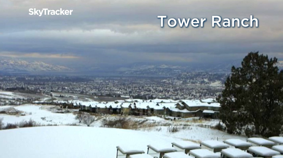
The heat has helped melt around half of the snow that Kelowna saw fall over the holidays, with 8 centimetres left on the ground Thursday morning.
Heavy snowfall slid into the Shuswap and Arrow Lakes areas to start the year with snowfall warnings for up to 30 centimetres expected by Friday morning.
Clouds continued to fill the sky in the Okanagan on Thursday, with temperatures staying above the freezing mark by a few degrees all day, which is way warmer than the average afternoon high of -2.
There is a chance of a few pockets of mixed precipitation passing through early Thursday evening before skies start to clear out overnight into Friday morning, as conditions cool below freezing by a few degrees.

Sunshine will start off the day on Friday with a few clouds rolling in during the afternoon, as the region climbs to an afternoon high around 5 degrees.


But clouds will slide back in with the next system pushing in from the south on Saturday, with a chance of showers on Sunday, as afternoon highs hold steady around 4 degrees for the first weekend of 2019.
Some sunny breaks are possible on Monday before clouds and a chance of showers return to the forecast for the first full week of 2019, as daytime highs hover between 3 to 5 degrees.

For weather on the go download the Global News SkyTracker Weather App for iPhone, iPad or Android.
Comments