

UPDATE:

A punishing Pacific weather system has left thousands of British Columbians without power as it smashed into the South Coast, and now it could be the Interior’s turn as winds, along with projected snowfall, trek inland.
WATCH BELOW: Dramatic escape from collapsed White Rock pier.

WATCH BELOW: Maple Ridge storm damage

WATCH BELOW: Dramatic video shows a tree falling on an East Vancouver home.

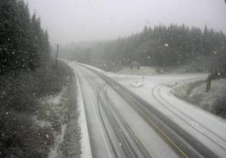
For the Interior, heavy snowfalls are projected for mountain passes, such as the Coquihalla and Rogers Pass.
DriveBC is also reporting that high winds are causing havoc on roads. At 3 p.m., a travel advisory was in effect for Highway 1 between Abbotsford and Hope, with debris on the road. Many other roads are also being affected by the weather.
For the latest driving conditions, visit DriveBC.
ORIGINAL STORY:

Get daily National news
Wind and snowfall warnings from Environment Canada are blanketing most of southern British Columbia on Thursday.
A Pacific storm is battering B.C.’s coast, and the weather warnings stretch from Vancouver Island, where winds could reach 110 km/h, to the West Kootenays, which, along with several other Interior regions, is under a snowfall warning.
WATCH: Wind damage, power outages in Langley

According to Environment Canada, “a very strong Pacific storm is currently passing over coastal B.C.,” and “strong winds that may cause damage are expected or occurring.” The weather service also warned that “damage to buildings, such as to roof shingles and windows, may occur. Loose objects may be tossed by the wind and cause injury or damage.”
Here’s a breakdown of Environment Canada’s warnings:
Central Coast and Northern Vancouver Island:
- Northwest winds 90 km/h, gusting to 110 km/h hour, will develop near noon on Thursday. These very strong winds will continue into the early evening before easing off below warning criteria later in the evening.
- Areas along the west side of Vancouver Island can expect strong southeasterly winds of 70 to 90 km/h. As the low-pressure centre crosses Vancouver Island near noon on Thursday, a switch to strong northwesterly winds of 80 km/h with gusts near 100 km/h are expected.
- For the areas of southern Vancouver Island, near Juan de Fuca Strait, very strong westerly winds will follow this weather system. Windspeeds of 70 to 90 km/h are possible Thursday afternoon.


WATCH BELOW: A windstorm on B.C.’s South Coast has led to ferry cancellations and power outages.

Sunshine Coast, Metro Vancouver:
- The powerful low-pressure system is expected to cross the mainland coast Thursday afternoon. Sustained southeast winds of 50 to 80 km/h have already developed over much of the south coast and will increase to 70 to 90 km/h later Thursday morning. Winds will switch to southwesterly 70 to 90 km/h Thursday afternoon, with stronger gusts likely above 100 km/h. Winds will ease Thursday evening and shift to west to northwest.
Whistler:
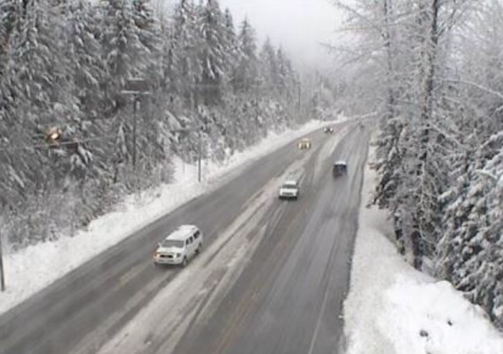
- This system is bringing heavy snowfall to Whistler and the Sea to Sky highway. Fifteen centimetres of snow has already fallen with an additional 15 cm expected Thursday morning and 5 to 10 cm more overnight Thursday night before easing off Friday morning.

- The low-pressure system will track inland and across the Interior tonight. Rain mixed with snow will continue Thursday giving near 5 cm near the summit. Precipitation will change to heavy snow Thursday evening. Total snowfall amounts from 15 to 25 cm can be expected by Friday morning.
- The Nicola region will also see wind gusts between 50 km/h and 80 km/h Thursday afternoon. Meanwhile, some sections of the Fraser Canyon will receive in excess of 50 mm by early Friday morning, before the rain tapers to showers.
- Snow will begin this morning and intensify Thursday night, before easing Friday morning. Snowfall amounts of up to 25 cm can be expected by Friday morning.
Cariboo, North Thompson, South Thompson, Okanagan:
- Strong southerly winds will develop Thursday morning and increase to 50 km/h gusting to 80 km/h Thursday afternoon. In the wake of the low, winds will ease to southerly 30 km/h gusting to 50 km/h or shift to west 30 km/h gusting to 50 km/h.
- Heavy snow will persist Thursday before tapering to flurries this evening. Snowfall amounts of 20 to 30 cm can be expected by Thursday evening.
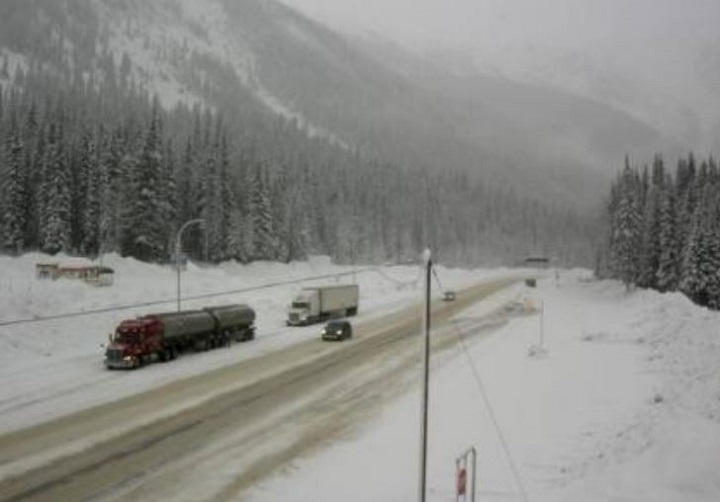
- Snow will begin Thursday morning and continue Thursday night before easing Friday morning. Snowfall amounts of 20 to 30 cm can be expected by Friday morning.
Peace River
- An approaching Pacific low-pressure system will drop 10 to 15 cm of snow over the Williston, Pine Pass, McGregor, the B.C Peace and southern Fort Nelson regions. Snow will end late Thursday evening or overnight as the low moves into Alberta.
Comments
Want to discuss? Please read our Commenting Policy first.