


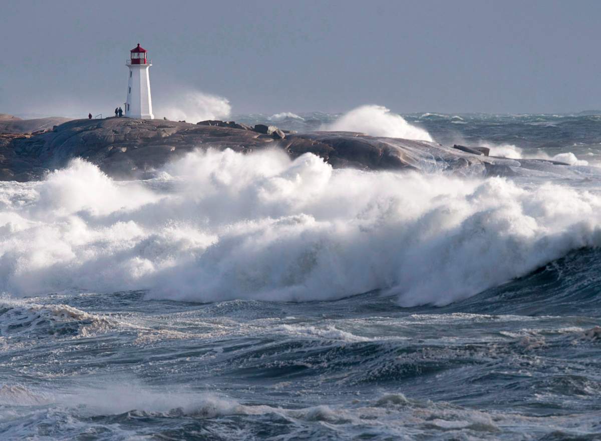
Atlantic Canada is likely to receive another blast of strong winds and rain with a healthy dose of snow in some areas this weekend.

Environment Canada issued a special weather statement on Thursday morning, saying that an intensifying low-pressure system is set to cross New Brunswick Saturday evening before moving to Labrador on Sunday.
READ MORE: Power outages continue for fourth day in New Brunswick
Precipitation associated with the system will begin falling over southwestern New Brunswick and southern Nova Scotia overnight on Friday, spreading to the rest of New Brunswick, Cape Breton and Prince Edward Island by Saturday morning.

Get breaking National news
Coastal areas of New Brunswick should expect to see only rain while inland areas could start to experience snow early on Saturday before that eventually changes to rain.
Most of Nova Scotia should expect to see rain while higher terrain, such as the Cobequid Pass and parts of the Cape Breton Highlands, could see some snow.
The federal agency says it is too soon to forecast rain amounts with certainty but the models currently suggest rainfall could exceed 25 millimetres in some areas.


-
![]() Thousands of New Brunswickers remain in the dark
Thousands of New Brunswickers remain in the dark -
![]() New Brunswick arborists on non-stop work schedule as a result of storm
New Brunswick arborists on non-stop work schedule as a result of storm -
![]() More than 40,000 New Brunswick Power customers in the dark 24 hours after storm
More than 40,000 New Brunswick Power customers in the dark 24 hours after storm -
![]() Rain, wind warnings issued across Nova Scotia
Rain, wind warnings issued across Nova Scotia -
![]() With winter on its way New Brunswick shelters prepare to help those in need
With winter on its way New Brunswick shelters prepare to help those in need


Strong winds will accompany the system on Saturday, especially along the coastal areas of the three provinces in the region.
By Sunday, New Brunswick and Nova Scotia will be buffeted by strong winds.


Comments
Want to discuss? Please read our Commenting Policy first.