

Hurricane Florence has been downgraded to a Category 1 storm — but the danger is far from over for residents of the U.S. East Coast.

The latest update from the National Hurricane Centre (NHC) has the storm’s maximum sustained winds hitting about 145 km/h — down from 175 km/h on Wednesday, and from 220 km/h earlier in the week.
Coverage of Hurricane Florence on Globalnews.ca:

-
![]() Dangerous flooding expected from Hurricane Florence
Dangerous flooding expected from Hurricane Florence -
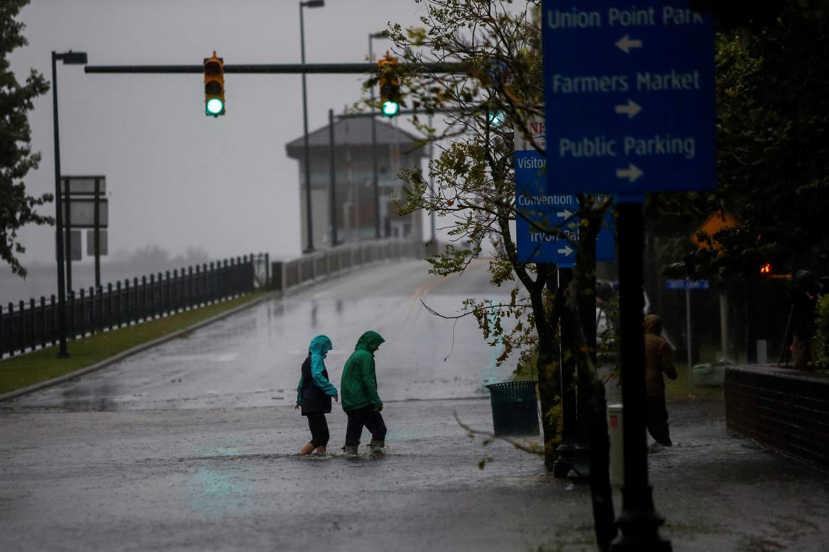
![]() Hurricane Florence: ‘You need to get yourself to a safe place now and stay there’ says NC governor
Hurricane Florence: ‘You need to get yourself to a safe place now and stay there’ says NC governor -
![]() Hurricane Florence: storm surge, major flooding big concerns as storm approaches
Hurricane Florence: storm surge, major flooding big concerns as storm approaches -
![]() Hurricane hunters capture impressive view From inside Hurricane Florence
Hurricane hunters capture impressive view From inside Hurricane Florence -
![]() Hurricane Florence 5-day forecast shows potential to impact Canada
Hurricane Florence 5-day forecast shows potential to impact Canada


The NHC warned that storm surge could still reach up to three metres high between North Carolina’s Cape Fear and Cape Lookout, though it could be higher in the Bay, Neuse, Pamlico and Pungo Rivers, it said.

Get daily National news
Elsewhere, storm surge is expected to reach heights of anywhere between 0.6 and 2.75 metres.
“The deepest water will occur along the immediate coast in areas of onshore winds, where the surge will be accompanied by large and destructive waves,” the update said.
Storm surge isn’t the only worry associated with the storm, either.
The hurricane is expected to generate heavy rainfall in southeast North Carolina and into northeastern South Carolina.
EXPLAINER: How Hurricanes get their names


Anywhere from about 500 to approximately 760 millimeters could fall in those areas, and isolated spots could see over 1,000 millimeters of rain.
Meanwhile, as much as 300 millimeters of rain could fall in the rest of the Carolinas and Virginia, with isolated areas seeing closer to 400 millimeters.
The NHC went on to say that a few tornadoes could form in eastern and southeastern North Carolina into Friday.
The storm is moving in a northwesterly direction at about 9 km/h.
It’s expected to move inland at southeastern North Carolina and eastern South Carolina Friday and Saturday.
Comments
Want to discuss? Please read our Commenting Policy first.