

UPDATE: All warnings and advisories mentioned in this story have ended.

Hottest days of the year move out, replaced by wind and a risk of rain.
Heat warning
A heat warning has been issued for Saskatoon and most of Saskatchewan a prolonged heat wave with daytime highs in the mid-30s.
The ridge of high pressure over the area continues to strengthen and Environment Canada says even hotter temperatures move in on Friday and for most of the weekend before the extreme heat abates by Monday.
For the latest weather alerts download the Global News SkyTracker Weather App for iPhone, iPad or Android.
Special air quality statement
A special air quality statement is in effect for Saskatoon and all of Saskatchewan for smoke reducing air quality and visibility.
While periods of improvement are likely, the westerly flow aloft will remain in place with smoke expected to impact portions of the province potentially through the weekend.
People may experience difficulty breathing and have symptoms such as coughing, throat irritation, headaches and shortness of breath.
If you are experiencing any of these symptoms, avoid spending time outside and find an indoor space with clean air and good ventilation to spend time.
Saskatoon forecast
Friday
Smoke continued to fill the air on Friday in Saskatoon with air quality down to a moderate health risk as temperatures dipped back into the low teens overnight.
Humidex values as high as 34 were reached before noon as the mercury rose up into the low teens.
37 C is where temperatures will top out around in the afternoon, which will likely be just shy of the city’s August heat record of 38.6 C from Aug. 7, 1997, as smoke and sunshine continue.
Friday Night
After reaching humidex values around 40 during the day, warm air will continue into the evening before we cool back into the mid-teens overnight with not clouds, but widespread smoke sticking around.
Saturday
Air quality should start to improve on Saturday as a gusty northeasterly wind kicks in during the day up to 40 km/h with gusts in excess of 60 km/h later in the day under a mix of sun and cloud.
Relatively cooler air will also begin to sink in during the day with an afternoon high back into the low 30s, but it’ll still feel like the mid-30s with humidity.

Sunday
A cold front and coupled system will swing through on Sunday with a good chance of rain and the risk of a thunderstorm later in the day as clouds roll back in.
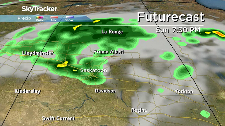


As a result, temperatures will take a hit, dropping back into the mid-20s for an afternoon high as strong northeasterly winds continue to gust upwards of 60 km/h at times as smoke clears out even more.

Work Week Outlook
Clouds and some showers are expected to linger in the area on Monday with a cool daytime high struggling to get into the 20s.
Much warmer air will move in after that with daytime highs returning to the mid-to-upper 20s on Tuesday before hopping back into the 30s as sunshine returns mid-week.

The Your Saskatchewan photo for August 10 was taken by Judy Herman of a snowman made of hail after a storm in La Loche:

Saskatoon weather outlook is your source for Saskatoon’s most accurate forecast and is your one stop shop for all things weather for central and northern Saskatchewan with comprehensive, in depth analysis that you can only find here.
Comments