

Deep below the waters of the St. Lawrence River near Cornwall sits Canada’s own version of the lost city of Atlantis.

Except, instead of a single city, the remains of nine villages and hamlets are sometimes visible through the water on a clear day.
The reason why goes back to the late 1950s.
“I saw churches destroyed, schools destroyed, towns completely wiped off the face of the earth,” Jim Brownell said. “For a young lad, it was exciting times. For the elderly though, very sad and depressing times, because these are the folks that knew they could never go back.”
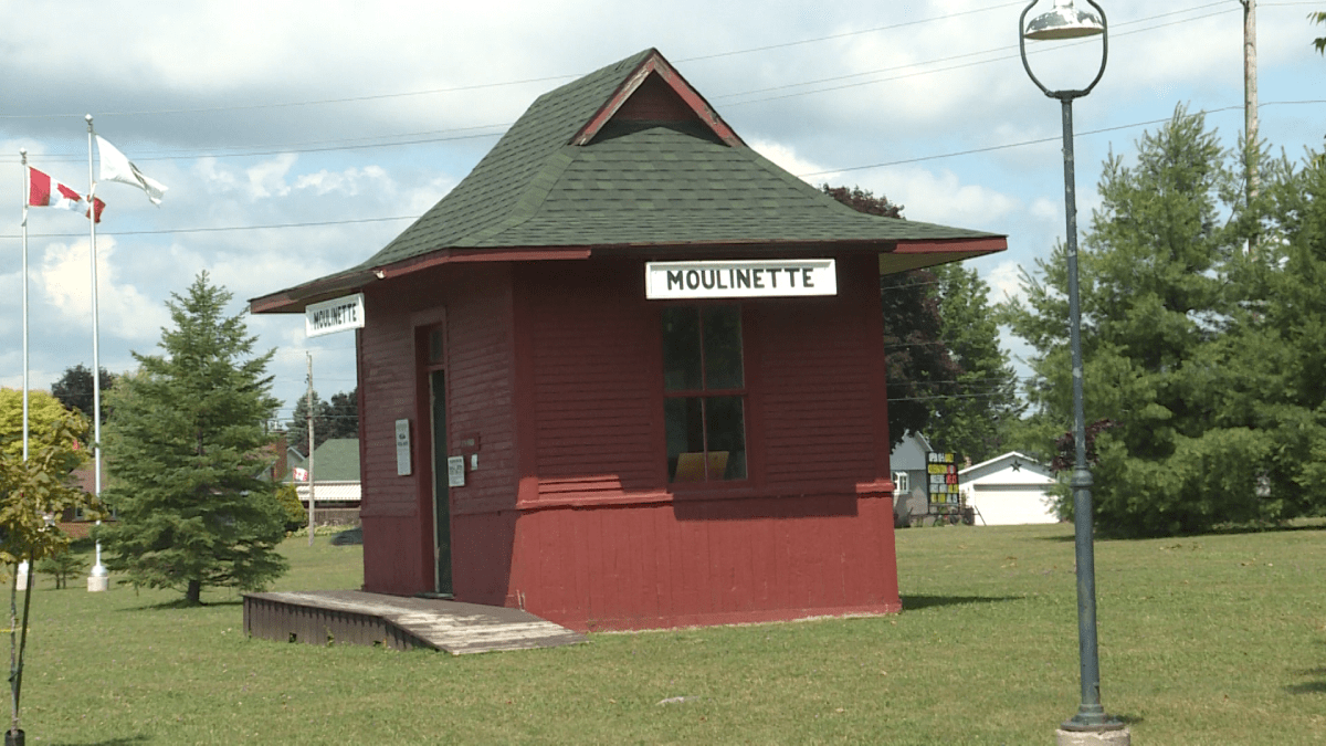
From the mid to late 1950s, life changed forever for residents of Aultsville, Dickinson’s Landing, Farran’s Point, Mille Roches, Moulinette, Wales, six villages along the St. Lawrence River, as well as the hamlets of Maplegrove, Santa Cruz and Woodlands.
“It was being sold as we were going to be wealthy and industry was going to flood in as a result of the project, which never really happened,” Alan Daye said.
The move was done because of the hydroelectric potential of the Long Sault Rapids.
“The Long Sault rapids were unbelievable,” former Moulinette resident David Hill said. “It was a place to gather on a weekend. You’d hear a roar, you’d feel the spray. You’d just see those massive waves and the whitecaps — you can’t recapture that.”

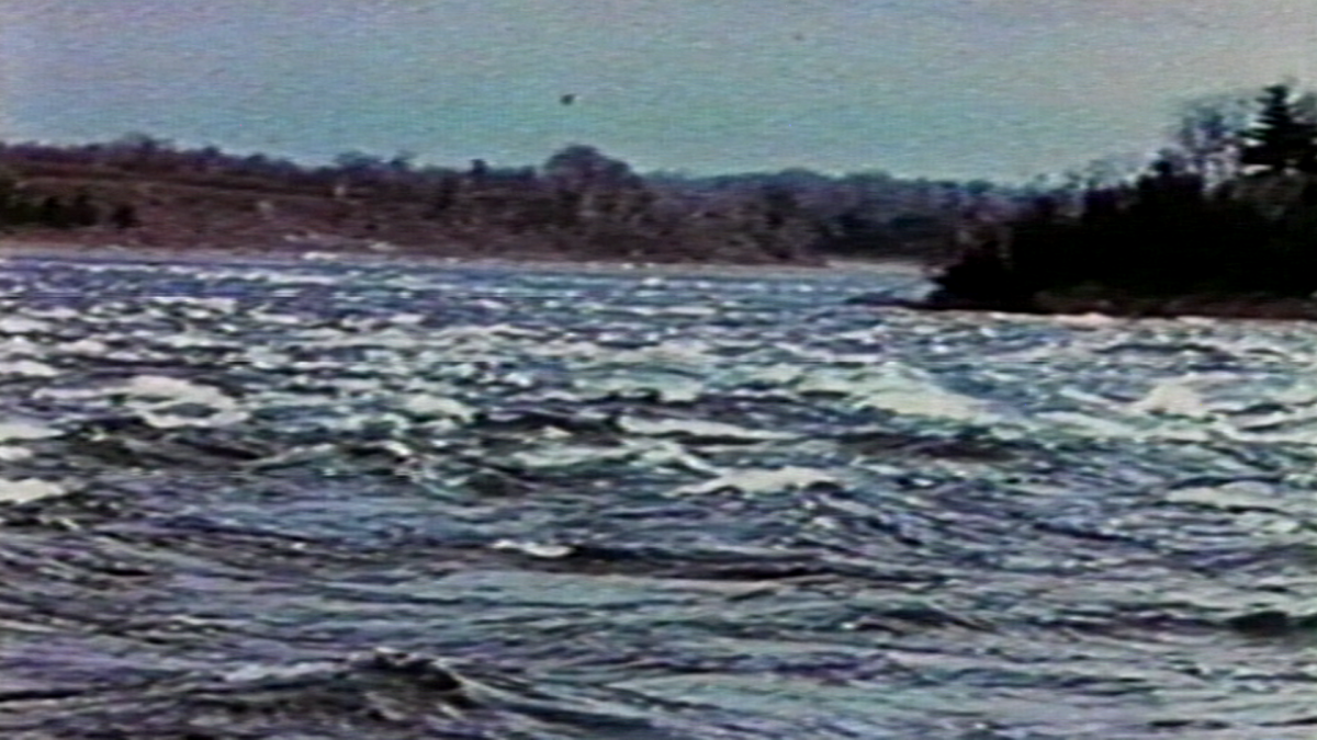


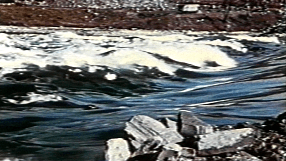
Today, the rapids aren’t as prominent as they once were, because in 1958 a hydro dam connecting Cornwall to New York State was built, while creating a man-made head pond named Lake St. Lawrence.
The dam, still in operation to this day, has 32 turbines in total, with 16 on each of the Canadian and American sides.
In addition to the hydroelectric project, the subsequent flooding created a new shoreline for the St. Lawrence River, and the St. Lawrence Seaway as we know it today.


“By the ’40s and ’50s, there were these huge ocean-going boats that could not get up the Seaway,” said Jim Brownell, former president of the Lost Villages Historical Society. “So they had to tie up at Montreal, unload on to small canallers, and move on up through the old Cornwall Canal.”
But in doing so, those nine villages and hamlets would be flooded and lost forever. Their residents make up the new towns of Long Sault and Ingleside, respectively.

Get breaking National news
“Everything had to be gone by July 1 of ’58,” Brownell said.


Brownell, Hill and Daye all remember the lead-up to July 1, 1958, as exciting times. The trio were all in their early teens back then.
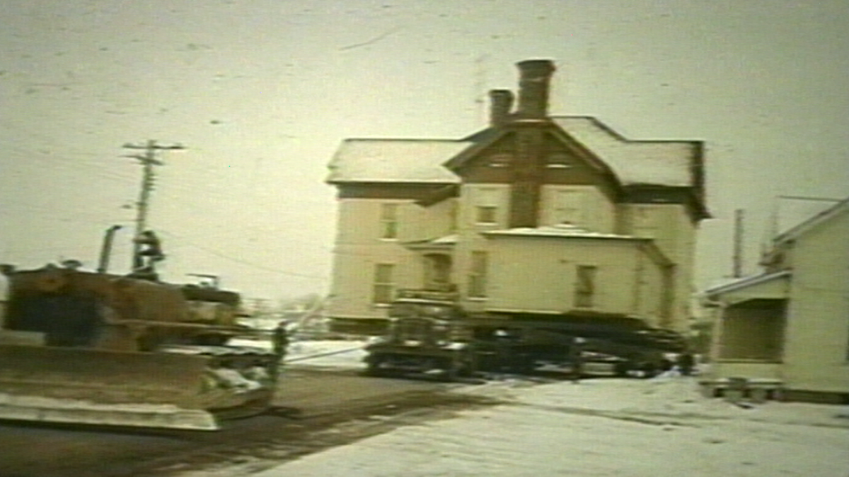
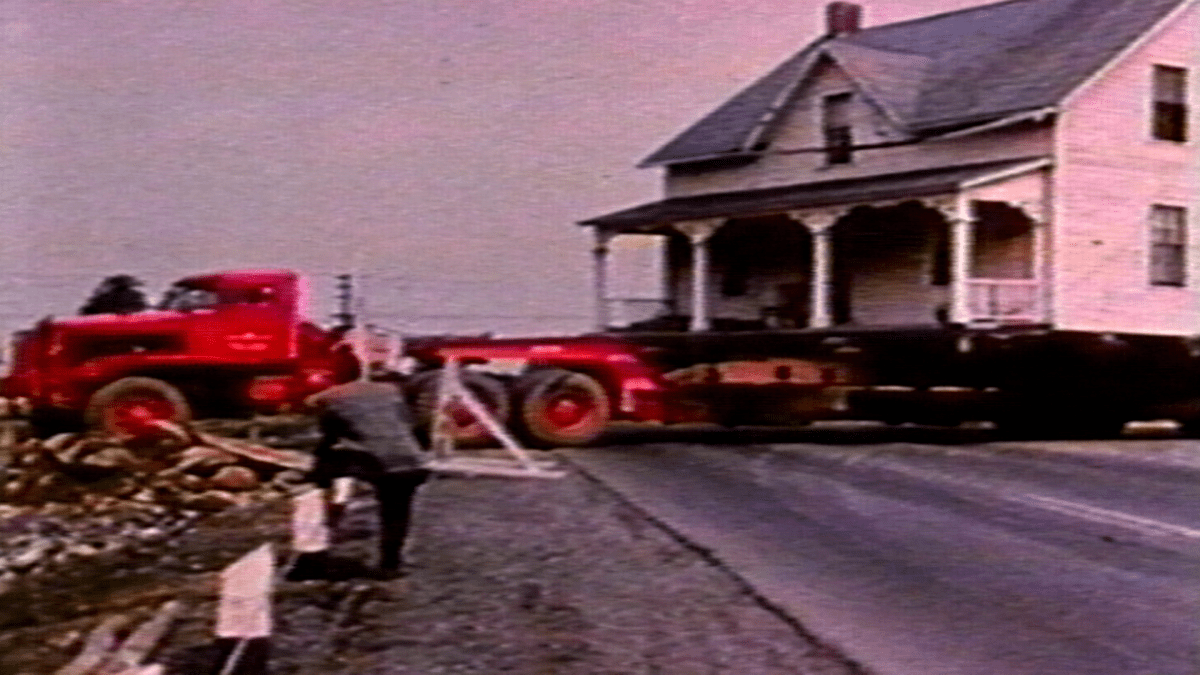
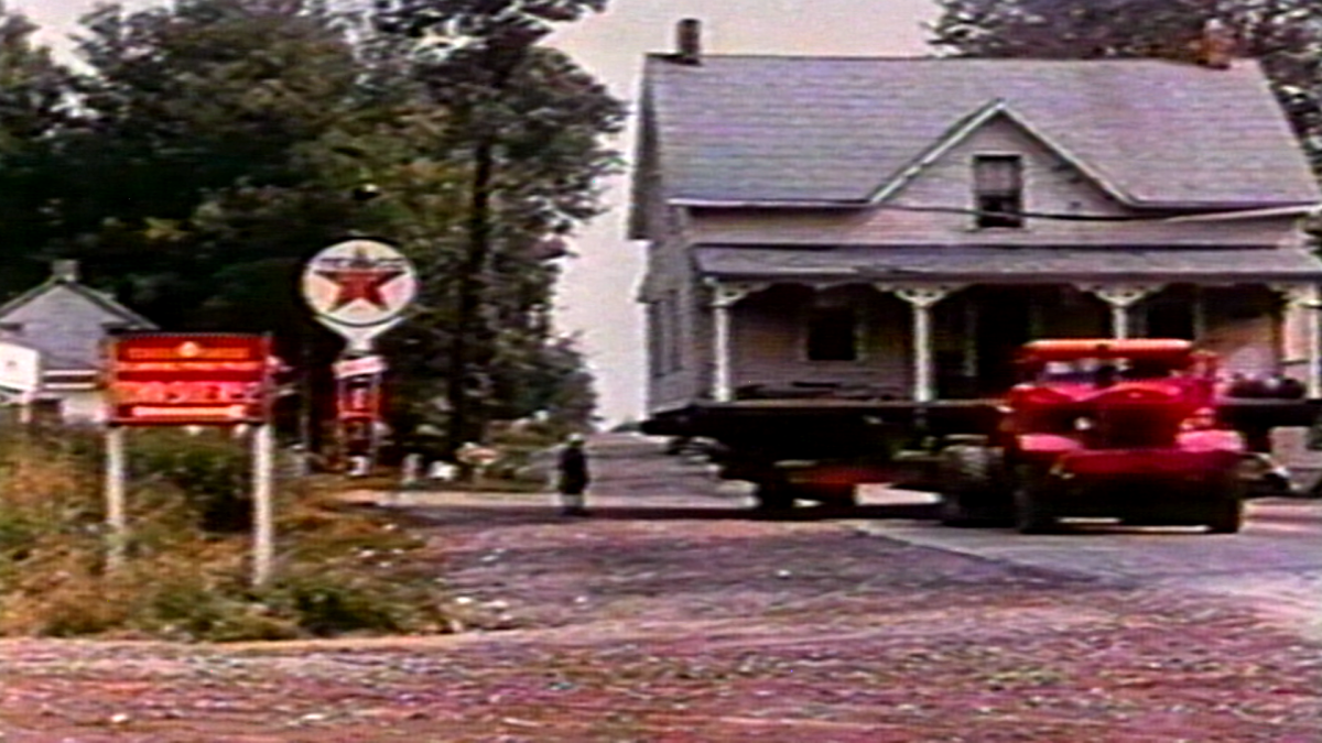
“All the noise and construction, all the large equipment,” Daye recalls. “Huge vehicles with no mufflers on that you could hear coming from miles away. Houses being torn down, roads torn up and made.”
“For a young lad to be seeing these huge big machines, tearing up ground and these big movers moving houses, some of them brick, that was amazing,” Brownell added.


The older population, however, those who were losing their land, weren’t of the same mindset.
Brownell can remember one person during that time who had a particularly morbid form of protesting.


“One fellow up in the Aultsville area, who put a tombstone out at the front of his property,” Brownell recalls, “Lambasting Hydro for what he was having to go through.”
Daye said he was so torn up about the entire ordeal, that when he left the area to go to College in the ’60s, he didn’t return until five years ago.
He also remembers two instances during that time he considers some of his most painful memories.
The first involves his father’s dealings with Ontario Hydro during the expropriation process, after a representative from Hydro offered $5,000 for his family’s property.
“Dad said $5,000 for this property isn’t much. His comment was, ‘Larry, if you don’t accept it, you’ll have to swim to shore,’” Daye recounted.
Eventually, their homes and thousands of others were moved to make way for the project.
WATCH: Part Two of the lost villages of the St. Lawrence River

In the 1970s, a group of residents created the Lost Villages Historical Society.
“Fran LaFlamme, our society’s first president, … is said to have uttered, ‘We lost a lot in the ’50s, with the seaway and the hydro projects, so if we don’t organize a historical society, we’re going to lose everything,” Brownell said.
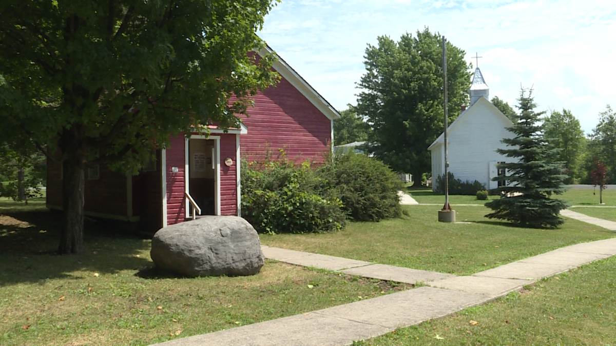
In 1992, a museum was built, complete with buildings and artifacts from within the villages. Brownell, despite passing on the current presidency, still visits the museum every day.

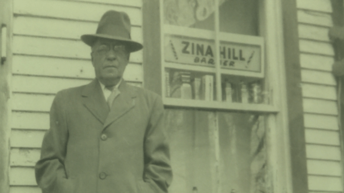

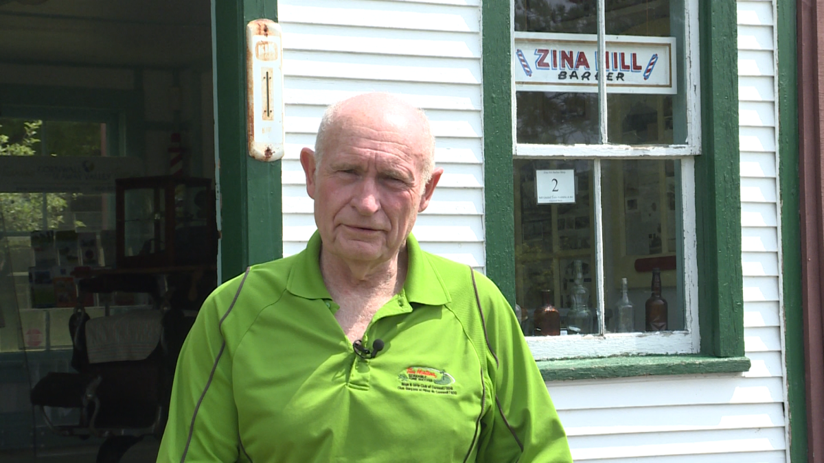


“We have a very unique story here to tell,” he said. “I love to research and I love to catalogue, and all that kind of stuff. We have an archives that is just jam-packed with information that needs to be catalogued.”
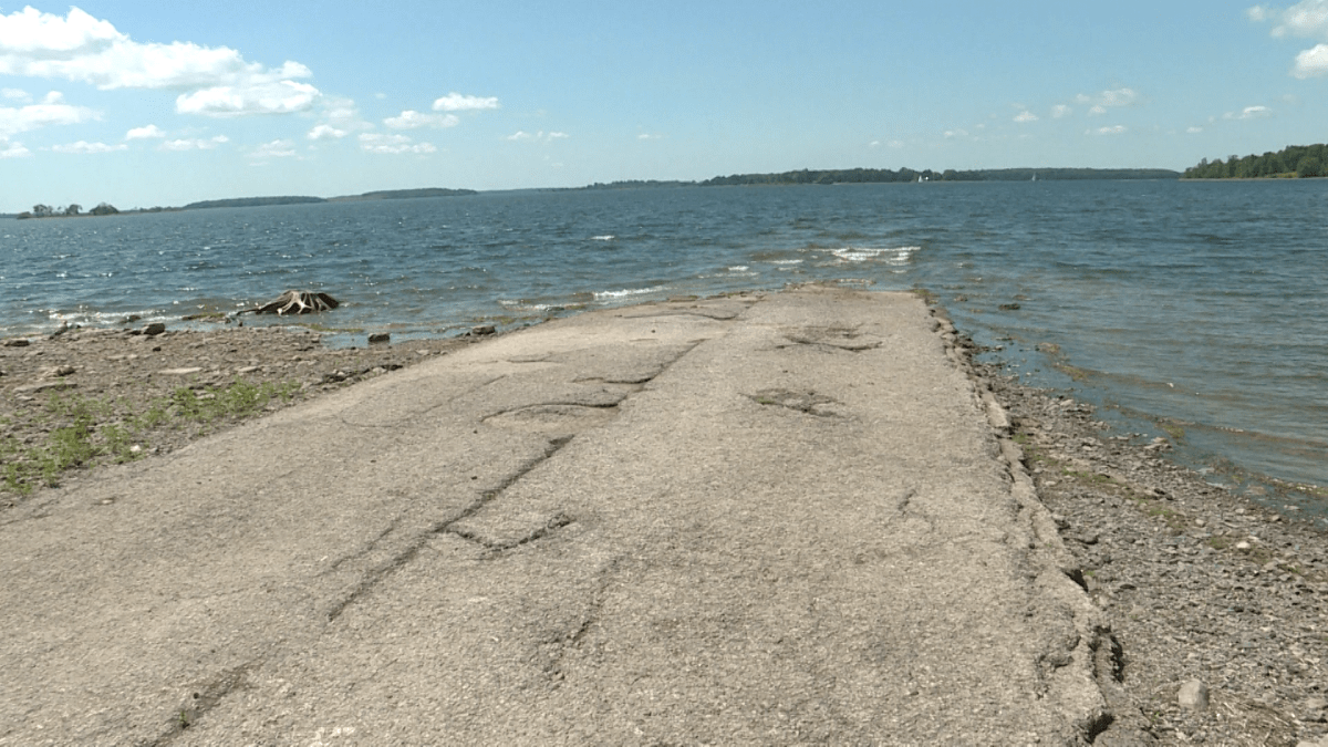
One piece of history that isn’t necessarily part of the museum itself, but that may be the most visually interesting: the short walk from the museum parking lot in Long Sault along a small stretch of the original Highway #2 alignment as it leads the way into the St. Lawrence River toward the Lost Villages.
Comments